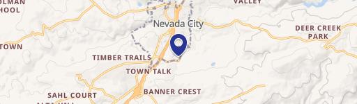
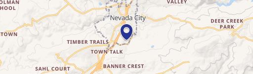
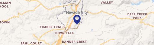
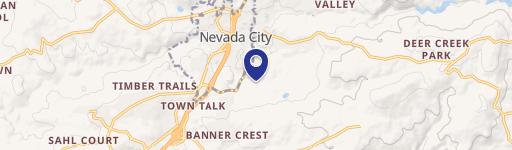
101 New Mohawk Rd Nevada City, CA 95959-3226
This exceptional 1.36-acre property in Nevada City, CA, presents a unique opportunity for light industrial development. Located at 101 New Mohawk Rd, 95959, this site boasts a prime location at the entrance to Nevada City's Gold Flat Business Park, a designated "green zone" permitting specific cannabis uses (conditional use permit required). The property comprises two contiguous parcels, offering easy access to Highway 49/Gold Flat exit (approximately half a mile). All city utilities are readily accessible. Zoning allows diverse uses, including auto service/sales, contractor shops/yards, office space, medical facilities, manufacturing, warehousing (excluding mini-storage), and studios. Mobile home park development and cannabis cultivation are also permissible with a conditional use permit. While the total acreage is 1.36 acres, greenbelt and easement considerations result in a net developable area of approximately 0.95 acres. Conceptual plans illustrate two light industrial, front-loading, high-bay buildings totaling 10,000 square feet, each potentially divisible into separate units. The property is classified as Class B and is situated in Nevada County. This single-tenant property offers significant potential for a variety of industrial and commercial ventures. The property is designated as Industrial, Land, and Special Purpose. The building size is 10,000 square feet.
Cap rate
Implied · in-place · derived from last sale + estimated NOIValue
AI, CAP & Alternative Use estimations · Realmo proprietary blendProperty tax & assessments
Tax year 2024Comparables
6 recent transactions · within 1.5 miComparable in this City

Similar Nearby for Sale


Property description
Physical attributes from public recordsZoning & alternative use
I · Nevada City, CANevada City. Always verify with local authorities before improvements.
Costs & Benchmarks
Operating expenses, capex projections, utility benchmarks, and submarket comparables — all in one view.
Risks
Flood, climate, environmental, title, and tenant-concentration risk — surfaced with mitigations and source citations.


