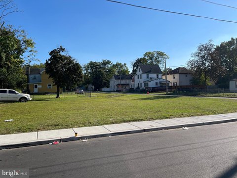
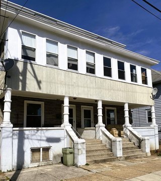
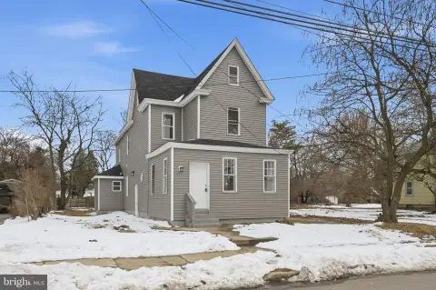
101 Broad St Paulsboro, NJ 08066-1422
Property profile & analytics
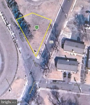
101 Broad St, Paulsboro, NJ 08066-1422
- Commercial real estate
- 1.32 lot acres
Property ID
US59-2009276
The Realmo ID is a unique identifier assigned to every property, incorporating country codes and precise geo-coordinates for 300x300-foot land blocks. It enables standardized data collection and seamless integration of disparate sources such as ownership, tax, title data and physical specifications. By aggregating current and historical records, the Realmo ID powers advanced analytics and delivers deep, verifiable insights for real estate professionals.
Location Intelligence
Current Use by Public Records
- Commercial real estate
Property Details for 101 Broad St
- Lot size
- 1.32 lot acres
- Property type
- Commercial real estate
- APN
- 14 00094- 01-00008
- APU
- 14000940100008
Sales History
| Date | Price | Buyer | Seller | Deed Type | Mortgage |
|---|---|---|---|---|---|
| Aug 13, 2021 | $2,559,630 | Raka LLC | Paulsboro Dc LLC | Bargain And Sale Deed | — |
| Jan 27, 2021 | — | Paulsboro Dg LLC | Paulsboro Dg LLC | Quit Claim Deed · related | — |
| Jan 7, 2021 | $350,000 | Paulsboro Dg LLC | Wells Fargo Bank NA | Grant Deed | $1.8M · M1 Bank |
Value Estimations
based on Realmo’s proprietary methodology
-
AI approach
- Method
- Estimation
- Statistic approach
- $2,875,000
- ML approach
- $2,780,000
Get a detailed, property-specific estimation — fast and free
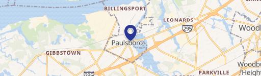
Location Insight
- Map
- Local Demand
- City
- Paulsboro
- County
- Gloucester
- State
- New Jersey
- Longitude
- -75.2388
- Latitude
- 39.8313
- CBSA code
- 37980
- CBSA name
- PHILADELPHIA-CAMDEN-WILMINGTON, PA-NJ-DE-MD METROPOLITAN STATISTICAL AREA
Property Tax & Assessments
Tax date
Tax Amount
Assessed Land Value
Assessed Improvement Value
Total Assessed Value
Applied Tax Rate
Land Market Value
Improvement Market Value
Total Market Value
2022
$51,360
$327,500
$862,500
$1,190,000
-
$327,500
$862,500
$1,190,000