
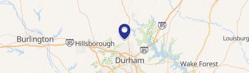
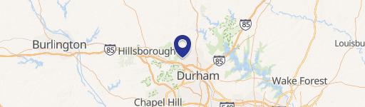
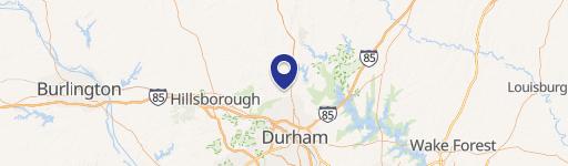
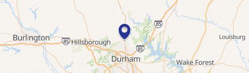
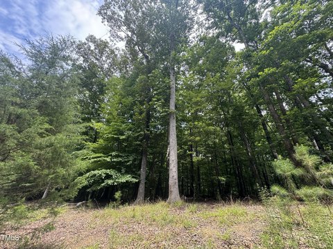
1008 Umstead Rd Durham, NC 27712
Property profile & analytics
1008 Umstead Rd, Durham, NC 27712
- Grocery and convenience stores
- 1,800 SF
- 1.79 lot acres
Property ID
US53-0176465
The Realmo ID is a unique identifier assigned to every property, incorporating country codes and precise geo-coordinates for 300x300-foot land blocks. It enables standardized data collection and seamless integration of disparate sources such as ownership, tax, title data and physical specifications. By aggregating current and historical records, the Realmo ID powers advanced analytics and delivers deep, verifiable insights for real estate professionals.
Location Intelligence
Current Use by Public Records
- Grocery and convenience stores
Property Details for 1008 Umstead Rd
- Year built
- 1997
- Lot size
- 1.79 lot acres
- Zone code
- CG
- Property type
- Grocery and convenience stores
- APN
- 182533
- APU
- 182533
Sales History
| Date | Price | Buyer | Seller | Deed Type | Mortgage |
|---|---|---|---|---|---|
| Jul 18, 2007 | $300,000 | Mm Fowler INC | Terry,marjorie V | Grant Deed | — |
Value Estimations
based on Realmo’s proprietary methodology
-
AI approach
-
CAP approach
-
Comparable approach
-
Alternative Use
Get a detailed, property-specific estimation — fast and free
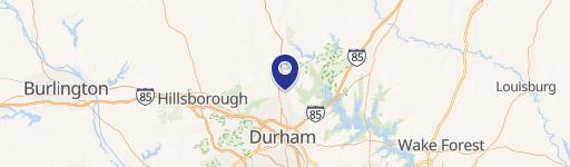
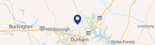
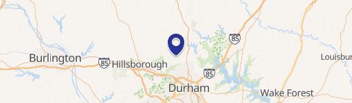
Location Insight
- Map
- Local Demand
- City
- Durham
- County
- Durham
- State
- North Carolina
- Longitude
- -78.9328
- Latitude
- 36.0836
- CBSA code
- 20500
- CBSA name
- DURHAM-CHAPEL HILL, NC METROPOLITAN STATISTICAL AREA
Property Tax & Assessments
Tax date
Tax Amount
Assessed Land Value
Assessed Improvement Value
Total Assessed Value
Applied Tax Rate
Land Market Value
Improvement Market Value
Total Market Value
2024
$9,828
$754,410
$266,197
$1,020,607
-
$754,410
$266,197
$1,020,607
Comparable in this City


Similar Nearby for Sale


Property Visit Statistics
-
Visits by month20.6k
-
Visitors by month10.7k
-
Avg Time on site7 min


