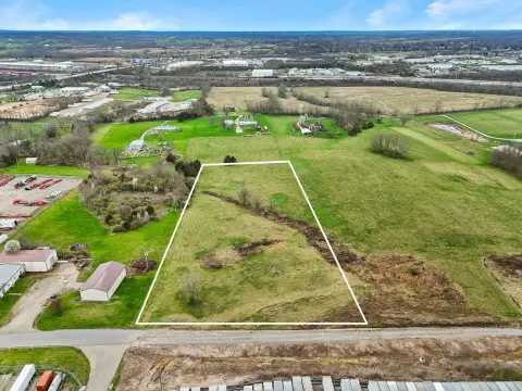
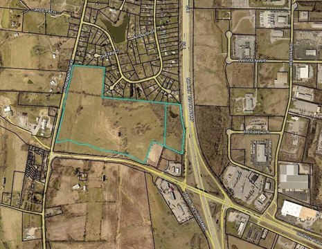
100 Darby Dr Georgetown, KY 40324-8715
Property profile & analytics
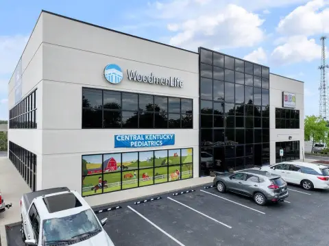
100 Darby Dr, Georgetown, KY 40324-8715
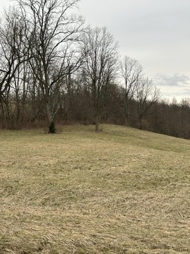
- Commercial land
- 0.97 lot acres
Property ID
US34-1708058
The Realmo ID is a unique identifier assigned to every property, incorporating country codes and precise geo-coordinates for 300x300-foot land blocks. It enables standardized data collection and seamless integration of disparate sources such as ownership, tax, title data and physical specifications. By aggregating current and historical records, the Realmo ID powers advanced analytics and delivers deep, verifiable insights for real estate professionals.
Location Intelligence
Current Use by Public Records
- Commercial land
Property Details for 100 Darby Dr
- Lot size
- 0.97 lot acres
- Property type
- Commercial land
- APN
- 190-10-010.000
- APU
- 19010010000
Sales History
| Date | Price | Buyer | Seller | Deed Type | Mortgage |
|---|---|---|---|---|---|
| Jan 8, 2025 | — | Fouzbox Development LLC | — | Deed · related | $192k · Red River Bank |
| Nov 20, 2017 | $675,000 | Dh 100 Darby Drive Georgetown Ky Ll | Welch Landmark LLC | Deed | — |
| Sep 14, 2016 | $400,000 | Welch Landmark LLC | Whitaker Land Company Ltd | Other | $612k · Whitaker Bank INC |
| Sep 14, 2016 | — | Welch Landmark LLC | — | Deed · related | $612k · Whitaker Bank INC |
Value Estimations
based on Realmo’s proprietary methodology
-
AI approach
-
CAP approach
-
Comparable approach
-
Alternative Use
Get a detailed, property-specific estimation — fast and free
Location Insight
- Map
- Local Demand
- City
- Georgetown
- County
- Scott
- State
- Kentucky
- Longitude
- -84.5418
- Latitude
- 38.2215
- CBSA code
- 30460
- CBSA name
- LEXINGTON-FAYETTE, KY METROPOLITAN STATISTICAL AREA
Property Tax & Assessments
Tax date
Tax Amount
Assessed Land Value
Assessed Improvement Value
Total Assessed Value
Applied Tax Rate
Land Market Value
Improvement Market Value
Total Market Value
2023
$6,120
$675,000
$0.00
$675,000
-
$675,000
$0.00
$675,000