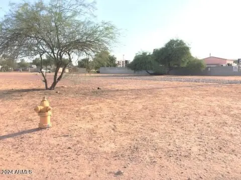
100 Comstock Dr Chandler, AZ 85225-1203
Property profile & analytics
100 Comstock Dr, Chandler, AZ 85225-1203
- Industrial land
- 0.99 lot acres
Property ID
US07-0958028
The Realmo ID is a unique identifier assigned to every property, incorporating country codes and precise geo-coordinates for 300x300-foot land blocks. It enables standardized data collection and seamless integration of disparate sources such as ownership, tax, title data and physical specifications. By aggregating current and historical records, the Realmo ID powers advanced analytics and delivers deep, verifiable insights for real estate professionals.
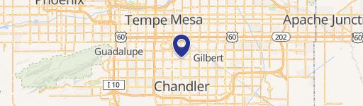
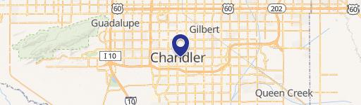
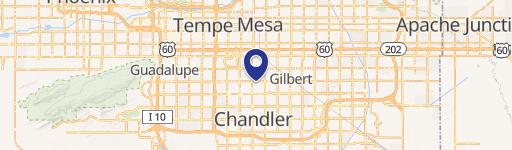
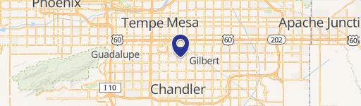
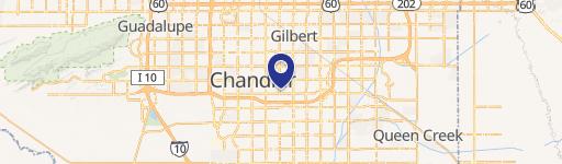
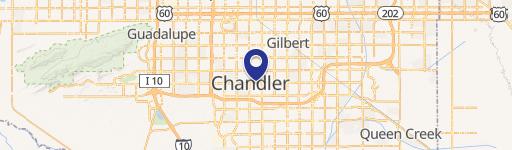
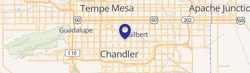
Location Intelligence
Current Use by Public Records
- Industrial land
Property Details for 100 Comstock Dr
- Lot size
- 0.99 lot acres
- Zone code
- I-1
- Property type
- Industrial land
- APN
- 302-29-017A
- APU
- 30229017A
Sales History
| Date | Price | Buyer | Seller | Deed Type | Mortgage |
|---|---|---|---|---|---|
| Feb 6, 2026 | $1,700,000 | Chandler Comstock LLC | Pacific Equities Capital Management | Special Warranty Deed | — |
| Dec 12, 1996 | $300,000 | Pacific Equities Group INC | Rose Corporate Partnershi | Grant Deed · related | — |
| Apr 19, 1989 | — | England Mutu New | Unknown | Grant Deed · related | — |
| Sep 21, 1987 | — | Cmdc Part Copley | — | Deed Of Trust · related | — |
Value Estimations
based on Realmo’s proprietary methodology
-
AI approach
-
CAP approach
-
Comparable approach
-
Alternative Use
Get a detailed, property-specific estimation — fast and free
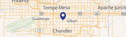
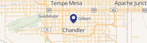
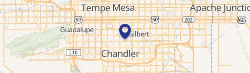
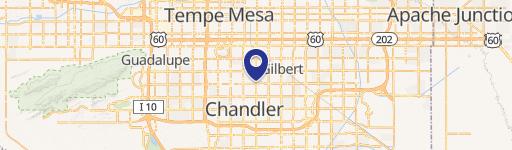
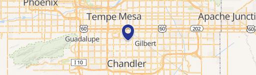
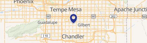
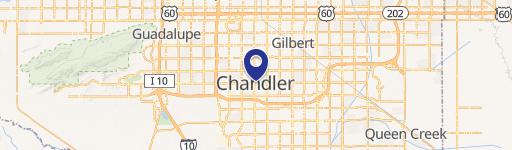
Location Insight
- Map
- Local Demand
- City
- Chandler
- County
- Maricopa
- State
- Arizona
- Longitude
- -111.84
- Latitude
- 33.3475
- CBSA code
- 38060
- CBSA name
- PHOENIX-MESA-SCOTTSDALE, AZ METROPOLITAN STATISTICAL AREA
Property Tax & Assessments
Tax date
Tax Amount
Assessed Land Value
Assessed Improvement Value
Total Assessed Value
Applied Tax Rate
Land Market Value
Improvement Market Value
Total Market Value
2022
$3,374
$0.00
$0.00
$52,785
-
$351,900
$0.00
$351,900