Property summary
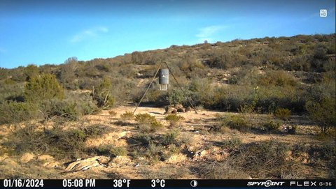
This exceptional 2,595.97-acre ranch in Val Verde County, Texas, presents a unique investment opportunity. Located near the Pecos River and Pandale crossing, this property boasts a rich history, having been in the same family for generations. Well-managed and maintained, the ranch offers diverse topography, ranging from oak-filled draws to rocky canyons and mesas, with an elevation change of approximately 60 feet. The diverse terrain supports abundant wildlife, including mountain lions, black bears, bobcats, deer (whitetail and mule), javelina, and various bird species. Six mountain lions have been harvested on the property this year alone. The ranch features a well-maintained internal road system, providing access to nearly all areas. Electricity is available at multiple locations, powering wells throughout the ranch. A resident couple, familiar with the property and its maintenance, is available to assist new owners. The ranch has historically supported one animal unit per 35 acres, with existing pens and good fencing. Vegetation includes a variety of native grasses, shrubs, and trees, creating a thriving ecosystem. Nearby attractions include the Pecos River, Lake Amistad, Seminole Canyon State Park, and Devil's River. A nearby airstrip offers convenient access by air. This property is ideal for hunting, recreation, and exploring the unique beauty of West Texas. The asking price is $1,556,982. The property's address is Fielder Draw Rd, Comstock, TX 78837.
Property profile
VerifiedCap rate & NOI
Location
Value estimations
Owner & transaction history
Comparables
6 recent transactions · within 1.5 miComparable in this City
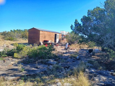
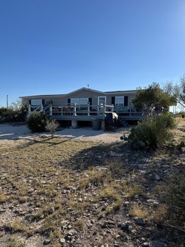
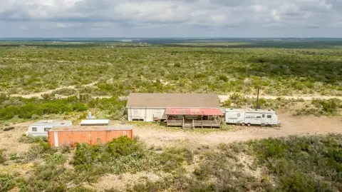
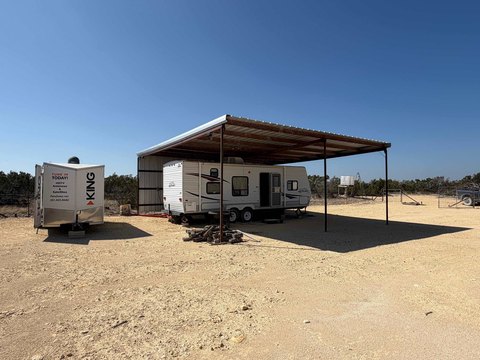
Similar Nearby for Sale
Value estimation
Instant AI valuation built from comps, income signals, and proprietary benchmarks. A defensible range, not a single guess.
from $99/month
Cap rate
Cap rate calculated from real income and expense signals, benchmarked against sales of similar assets nearby.
from $99/month
Property description
Physical attributes from public recordsZoning & alternative use
Zoning
The recorded zoning designation, what the district officially allows, and the municipal source it comes from.
No zoning code is on file for this parcel. Zoning coverage grows with every catalog release — check back, or open Location Intelligence for use analysis of this corner.
Find the owner behind the property.
Unlock the evidence behind ownership: portfolio, transactions, debt and signals that help you decide who to contact next.
Registration is required before any owner information is shown.
- Full Property Data
- Historical Records
- Value Estimation
- NOI Potential
- Cap Rate Calculation
- Ownership
- Location Insight
- Alternative use
- Local Zoning Insight
Cancel anytime.
- 30 reports a month
- Location Analytics
- Market Trends
- Full Property Data
- Historical Records
- Value Estimation
- NOI Potential
- Cap Rate Calculation
- Ownership
- Location Insight
- Alternative use
- Local Zoning Insight
Cancel anytime.
- 300 reports a month
- Location Analytics
- Market Trends
- Full Property Data
- Historical Records
- Value Estimation
- NOI Potential
- Cap Rate Calculation
- Ownership
- Location Insight
- Alternative use
- Local Zoning Insight
and get 1 Light Report
- Property Information
- Historical Records
- Value Estimation
- NOI Potential
- Cap Rate Potential
- Location Insight
- Alternative use
- Local Zoning Insight


