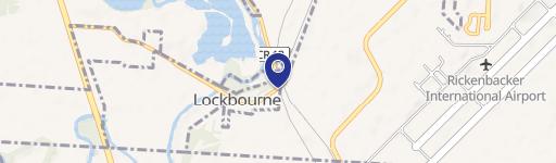
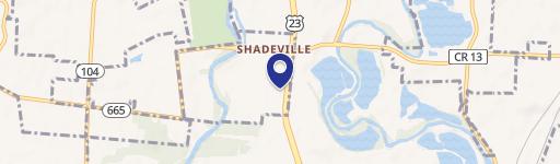
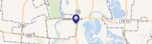
6515 High St Lockbourne, OH 43137
- Turn key restaurants
- 3,652 SF
- 1.92 lot acres
Current Use by Public Records
- Turn key restaurants
Property Details for 6515 High St
- Year built
- 1950
- Lot size
- 1.92 lot acres
- Property size
- 3,652 SF
- Property type
- Turn key restaurants
- APN
- 150-000177
- APU
- 150000177
Description
This exceptional 13.1-acre commercial and farm property, located at 6515 S High St, Lockbourne, OH 43137, presents a unique investment opportunity. Boasting approximately 836 feet of road frontage on Route 23, this strategically positioned land offers significant development potential. The property consists of three parcels (APN: 150-000177, 150-000717, 150-000943, 150-001270) within Hamilton Township, providing access to readily available utilities. Multiple existing buildings are situated on the site, adding to its versatility. Its convenient location south of Scioto Downs in the Rickenbacker area, with easy access to Routes 665 and 317, enhances its appeal. The property's designation as an Opportunity Zone further amplifies its investment attractiveness. Ideal for a variety of uses, including semi-truck parking, lot storage, and retail outlots, this property offers substantial returns for the discerning investor. The asking price is $3,995,000. This prime location and flexible zoning (Commercial) make this a truly exceptional opportunity.
Value Estimation
-
CAP approach
-
Comparable approach
-
Alternative Use
Location Insight
- Map
- Local Demand
- City
- Lockbourne
- County
- Franklin
- State
- Ohio
- Longitude
- -83.0018
- Latitude
- 39.8273
- CBSA code
- 18140
- CBSA name
- COLUMBUS, OH METROPOLITAN STATISTICAL AREA