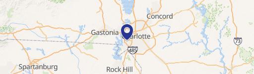
1633 Arrowood Rd Charlotte, NC 28217
- Commercial land
- 1,674 SF
- 1.51 lot acres
Current Use by Public Records
- Commercial land
Property Details for 1633 Arrowood Rd
- Year built
- 1967
- Lot size
- 1.51 lot acres
- Property size
- 1,674 SF
- Zone code
- I1
- Property type
- Commercial land
- APN
- 20322114
- APU
- 20322114
Description
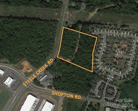
This exceptional 2.96-acre commercial land parcel in Charlotte, NC, presents a unique development opportunity. Located at 1633 W Arrowood Rd, in Mecklenburg County (zip code 28217), this property boasts an OFC zoning designation. Its strategic location at the intersection of Interstates 77 and 485 provides unparalleled accessibility to major thoroughfares and affluent residential areas including Uptown, Midtown/South End, SouthPark, Ballantyne, Fort Mill, and Berewick. The site is also minutes from abundant dining, shopping, and lodging options, and enjoys convenient proximity to Charlotte Douglas International Airport. Pre-approved plans exist for a 95-room, four-story dual-brand Wyndham hotel, although alternative uses or hotel flags will be considered. This offering presents a compelling investment opportunity for developers seeking a prime location with existing approvals and significant upside potential. The asking price is $2,100,000.
Value Estimation
-
CAP approach
-
Comparable approach
-
Alternative Use
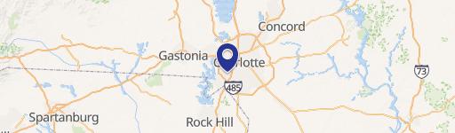
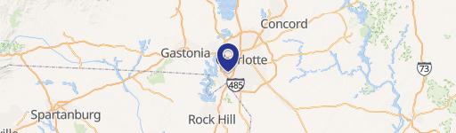
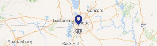
Location Insight
- Map
- Local Demand
- City
- Charlotte
- County
- Mecklenburg
- State
- North Carolina
- Longitude
- -80.9183
- Latitude
- 35.1416
- CBSA code
- 16740
- CBSA name
- CHARLOTTE-CONCORD-GASTONIA, NC-SC METROPOLITAN STATISTICAL AREA