4902 Airline Hwy Baton Rouge, LA 70805
- Investment properties
- 23,917 SF
- 3.50 lot acres
Current Use by Public Records
- Vel Rose Motel / Motel / Inn
Property Details for 4902 Airline Hwy
- Lot size
- 3.50 lot acres
- Property size
- 23,917 SF
- Property type
- Investment properties
- Property subtype
- Retail residential properties
- APN
- 469521
- APU
- 469521
Description
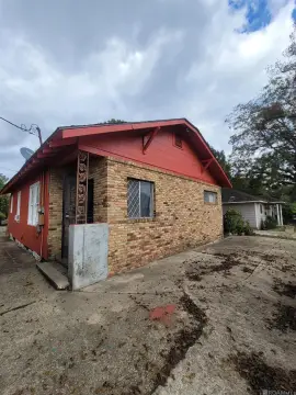
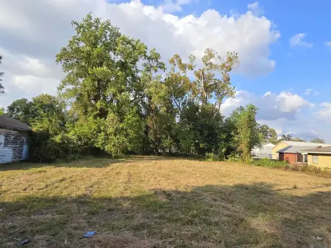
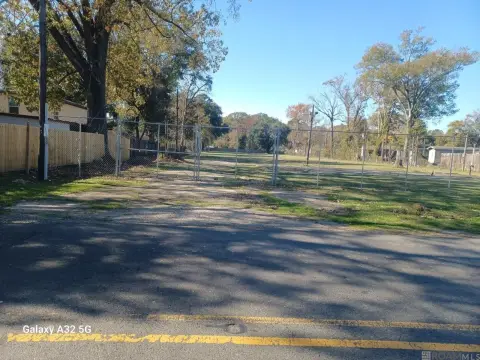
This exceptional 3.5-acre commercial land parcel presents a prime redevelopment opportunity in Baton Rouge, Louisiana. Located at 4902 Airline Hwy, this property enjoys a highly visible corner location at the intersection of Airline Hwy and North Foster Dr., boasting 1,007 feet of frontage and a depth of 796.5 feet. The existing structures are slated for demolition, making this a blank canvas for a variety of commercial ventures. With a C2 (Heavy Commercial) zoning designation, permitted uses are extensive and could include multifamily housing, retail centers, or gas stations. The site benefits from exceptional accessibility, providing easy access to I-110, the Baton Rouge Metropolitan Airport, and other key areas of north Baton Rouge. The property's high traffic count of 43,837 vehicles daily underscores its significant commercial potential. The asking price is $1,900,000, translating to a land value of $12.46 per square foot. The APN is 469521. Importantly, this property is located in Flood Zone X. This presents a rare chance to acquire a substantial tract of land in a high-traffic area, ready for immediate redevelopment. Don't miss this chance to capitalize on the potential of this strategically located property.
Value Estimation
-
CAP approach
-
Comparable approach
-
Alternative Use
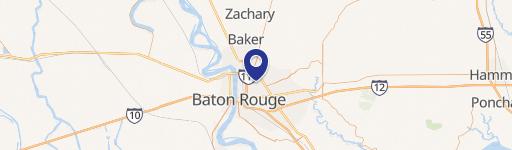
Location Insight
- Map
- Local Demand
- City
- Baton Rouge
- County
- East Baton Rouge
- State
- Louisiana
- Longitude
- -91.141
- Latitude
- 30.5074
- CBSA code
- 12940
- CBSA name
- BATON ROUGE, LA METROPOLITAN STATISTICAL AREA