4706 12Th St Little Rock, AR 72204
- Commercial real estate
- 10 SF
- 0.16 lot acres
Current Use by Public Records
- Commercial real estate
Property Details for 4706 12Th St
- Lot size
- 0.16 lot acres
- Property size
- 10 SF
- Property type
- Commercial real estate
- APN
- 34L-116-00-244-00
- APU
- 34L1160024400
Description
This exceptional 6,969 square foot commercial land parcel presents a unique investment opportunity in Little Rock, Arkansas. Located at 4706 W 12th Street, this property boasts a highly desirable C-3 General Commercial zoning, allowing for a wide range of potential uses. Its strategic location offers convenient access to University Avenue and Interstate 630, ensuring high visibility and easy accessibility for businesses and customers. The lot is situated in Pulaski County, Arkansas, with a zip code of 72204, and its precise coordinates are 34.7411641 latitude and -92.3264899 longitude. The property's proximity to the Medical Corridor and its adjacency to Ugly Mike's Records further enhance its appeal. The asking price for this well-positioned commercial land is $45,000. The Assessor's Parcel Number (APN) is 34L1160024400. This is a rare opportunity to acquire a strategically located commercial lot in a thriving area of Little Rock, ideal for entrepreneurs and investors seeking a foothold in a dynamic market. The property's size and zoning provide significant flexibility for development, making it an attractive proposition for a variety of commercial ventures. Don't miss this chance to secure this prime piece of real estate.
Value Estimation
-
CAP approach
-
Comparable approach
-
Alternative Use
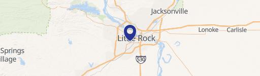
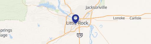
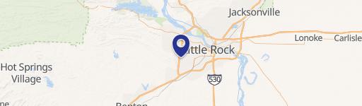
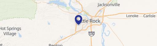
Location Insight
- Map
- Local Demand
- City
- Little Rock
- County
- Pulaski
- State
- Arkansas
- Longitude
- -92.3264
- Latitude
- 34.7412
- CBSA code
- 30780
- CBSA name
- LITTLE ROCK-NORTH LITTLE ROCK, AR METROPOLITAN STATISTICAL AREA