33670 Handcart Rd Anchor Point, AK 99556
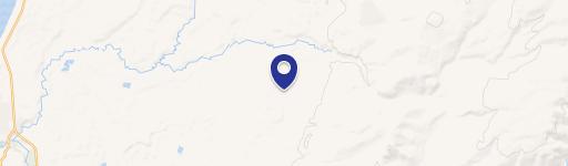
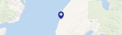
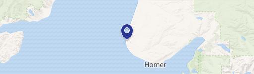
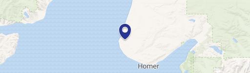
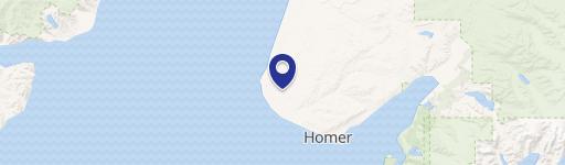
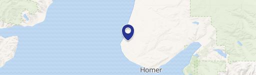
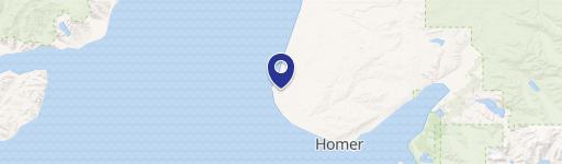
This exceptional 19.08-acre property, located at 33670 Handcart Road in Anchor Point, Alaska (zip code 99556), presents a unique opportunity for outdoor enthusiasts and investors alike. Situated in the Kenai Peninsula Borough, this land offers a secluded wilderness experience, accessible via ATV or snowmobile during winter months. The property is approximately 1.5 miles from North Fork Road, providing a balance of seclusion and accessibility. Previously selectively logged, the land is largely level and ready for development, making it ideal for creating a personal homestead or recreational retreat. The land is comprised of four contiguous lots, totaling nearly twenty acres of Alaskan wilderness. Priced below the borough assessment, this represents a compelling investment opportunity in Alaskan land. The property's latitude and longitude coordinates are 59.78414 and -151.664383 respectively. This offering provides a chance to own a significant piece of Alaskan land, perfect for hunting, recreational activities, or establishing a private sanctuary. The asking price for this remarkable property is $28,000.
Cap rate
Implied · in-place · derived from last sale + estimated NOIValue
AI, CAP & Alternative Use estimations · Realmo proprietary blendComparables
6 recent transactions · within 1.5 miComparable in this City


Similar Nearby for Sale
Property description
Physical attributes from public recordsZoning & alternative use
No recorded transactions found for this property.
Costs & Benchmarks
Operating expenses, capex projections, utility benchmarks, and submarket comparables — all in one view.
Risks
Flood, climate, environmental, title, and tenant-concentration risk — surfaced with mitigations and source citations.


