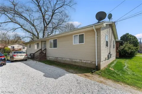
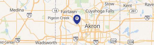
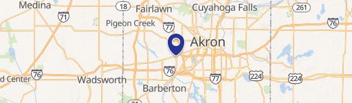
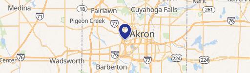
V/L Romig Rd & Kellogg Ave Akron, OH 44320
Property profile & analytics
Location Intelligence
Current Use by Public Records
- Land
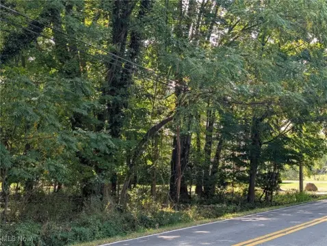
Property Details for 0 V/L Romig Rd & Kellogg Ave
- Lot size
- 13.67 lot acres
- Property type
- Land
Description
This exceptional 13.666-acre parcel, situated at the intersection of Romig Road and Kellogg Avenue in Akron, Ohio (zip code 44320), presents a compelling development opportunity. The property, identified by APN numbers 68-53706 & 67-33963, is zoned Akron UPD-16 and Akron U-1, allowing for a variety of uses. The land is priced at $246,060, translating to $21,390.60 per acre. Importantly, this offering includes potential access to an additional approximately 5.8 acres adjacent to the north, bringing the total developable area to approximately 19.466 acres. This expansive site boasts multiple access points, making it highly versatile for various projects. The zoning permits single-family or multi-family residential development, as well as other retail uses as detailed in zoning codes 153.245 & 153.270. Conveniently located minutes from Interstates 77 and 76, this property benefits from readily available public water and sewer services. This location offers excellent accessibility and proximity to major transportation arteries, making it an attractive proposition for developers seeking a strategic location in Akron, Summit County. The property's size and zoning flexibility make it a rare find in the Akron market.
Value Estimations
based on Realmo’s proprietary methodology
-
AI approach
-
CAP approach
-
Comparable approach
-
Alternative Use
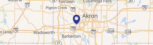
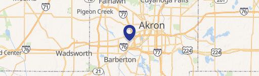
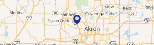
Location Insight
- Map
- Local Demand
- City
- Akron
- County
- Summit
- State
- Ohio
- Longitude
- -81.5738
- Latitude
- 41.0451