Current Use by Public Records
- Land
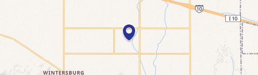
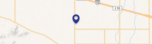
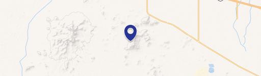
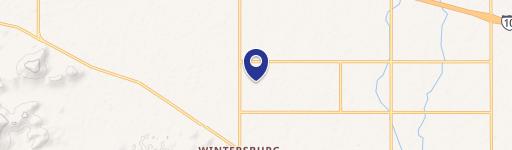
Property Details for 427th Ave And Indian School Rd
- Lot size
- 119.17 lot acres
- Property type
- Land
Description
This exceptional 119.17-acre commercial land parcel in Tonopah, Arizona, presents a significant investment opportunity. Located at the intersection of 427th Avenue and Indian School Road, the property boasts approximately 11,980 feet of paved frontage along Indian School Road, offering excellent visibility and accessibility. Zoned RU-43 (Maricopa County), this expansive tract is strategically positioned approximately 1.75 miles southwest of the full diamond interchange at 411th Avenue and Interstate 10, providing convenient access to major transportation routes. A pilot truck stop is situated at the southwest corner of 411th Avenue and Interstate 10, further enhancing the property's commercial viability. The land's location is also noteworthy due to its proximity—approximately 7.5 miles east—to the proposed Interstate 11, a planned intermountain west corridor connecting Arizona and Nevada, with a longer-term vision of extending to Canada and Mexico. The I-11 record of decision and final preliminary section were published in November 2021. This property is ideally situated west of numerous large master-planned communities, including Douglas Ranch (recently acquired by Howard Hughes Corporation), Belmont, and Tartesso, indicating strong potential for future growth and development. The asking price is $2,979,250, translating to $25,000 per acre. The property's APN is 506-33-034B, 506-33-034C, and 506-33-034D. This is a rare opportunity to acquire a substantial land holding in a rapidly developing area with excellent infrastructure and future growth potential.
Value Estimations
-
AI approach
-
CAP approach
-
Comparable approach
-
Alternative Use
Location Insight
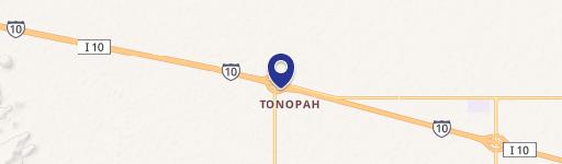
- Map
- Local Demand
- City
- Tonopah
- County
- Maricopa
- State
- Arizona
- Longitude
- -112.972
- Latitude
- 33.4937