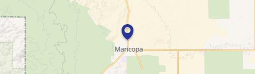
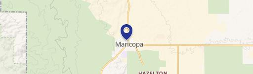
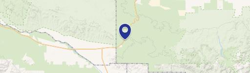
Maricopa, CA 93252
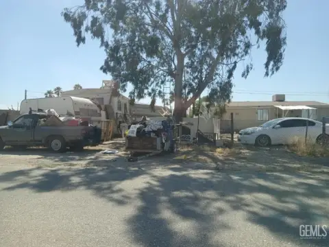
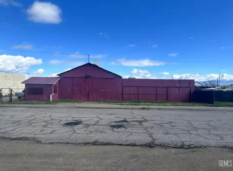
This expansive 2,035.45-acre property, located in Northeast Tulare County, near Maricopa, California (zip code 93252), presents a significant investment opportunity in California's fertile agricultural region. Situated in both Fresno and Tulare Counties, this commercial and farmland parcel offers a unique blend of potential uses. The asking price is $65,134,400, translating to a land value of $32,000 per acre. The property's location in Kern County, near the city of Maricopa, provides convenient access to transportation routes and essential infrastructure. Given its substantial size and prime location, this land is ideally suited for large-scale agricultural operations, potentially including farming, ranching, or other related commercial ventures. The property's geographical coordinates are 35.0602767 latitude and -119.3976492 longitude. Detailed soil analysis and water rights information are available upon request. This is a rare opportunity to acquire a substantial land holding in a highly productive agricultural area of California. Serious inquiries only.
Cap rate
Implied · in-place · derived from last sale + estimated NOIValue
AI, CAP & Alternative Use estimations · Realmo proprietary blendComparables
6 recent transactions · within 1.5 miComparable in this City


Similar Nearby for Sale

Property description
Physical attributes from public recordsZoning & alternative use
No recorded transactions found for this property.
Costs & Benchmarks
Operating expenses, capex projections, utility benchmarks, and submarket comparables — all in one view.
Risks
Flood, climate, environmental, title, and tenant-concentration risk — surfaced with mitigations and source citations.


