Property summary
This exceptional 0.54-acre commercial and residential land parcel, located in Punta Gorda, Florida (zip code 33950), presents a unique investment opportunity. Designated as Lot 9 in Clay's Subdivision, this property is zoned RMF5, permitting the construction of up to five units per acre, making it ideal for multi-family development. County records indicate the lot size is approximately 0.54 acres. Access is via an unconstructed city right-of-way off Cooper Street. The land is currently heavily vegetated with mature pepper trees, palms, and other plants. Conveniently located near essential amenities, this property boasts proximity to family-oriented schools, Florida SouthWestern State College (FSW), a police station, a growing airport, various services, a hospital, and a significant concentration of multi-family and cluster homes. Municipal water and sewer services are readily available nearby. The asking price for this strategically positioned lot is $90,000. Note that an additional 2.33 acres of land is available in the vicinity for potential expansion or complementary development. This property offers significant potential for investors seeking to capitalize on Punta Gorda's thriving real estate market.
Property profile
VerifiedCap rate & NOI
Location
Value estimations
Owner & transaction history
Comparables
6 recent transactions · within 1.5 miComparable in this City


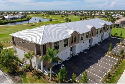
Similar Nearby for Sale


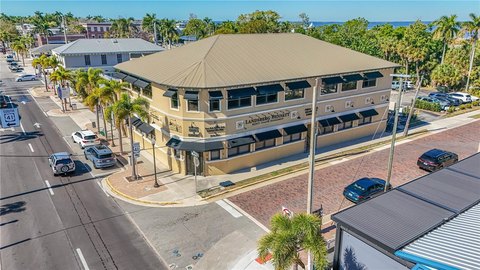
Similar Nearby for Lease




Value estimation
Instant AI valuation built from comps, income signals, and proprietary benchmarks. A defensible range, not a single guess.
from $99/month
Cap rate
Cap rate calculated from real income and expense signals, benchmarked against sales of similar assets nearby.
from $99/month
Property description
Physical attributes from public recordsZoning & alternative use
Zoning
The recorded zoning designation, what the district officially allows, and the municipal source it comes from.
No zoning code is on file for this parcel. Zoning coverage grows with every catalog release — check back, or open Location Intelligence for use analysis of this corner.
Find the owner behind the property.
Unlock the evidence behind ownership: portfolio, transactions, debt and signals that help you decide who to contact next.
Registration is required before any owner information is shown.
- Full Property Data
- Historical Records
- Value Estimation
- NOI Potential
- Cap Rate Calculation
- Ownership
- Location Insight
- Alternative use
- Local Zoning Insight
Cancel anytime.
- 30 reports a month
- Location Analytics
- Market Trends
- Full Property Data
- Historical Records
- Value Estimation
- NOI Potential
- Cap Rate Calculation
- Ownership
- Location Insight
- Alternative use
- Local Zoning Insight
Cancel anytime.
- 300 reports a month
- Location Analytics
- Market Trends
- Full Property Data
- Historical Records
- Value Estimation
- NOI Potential
- Cap Rate Calculation
- Ownership
- Location Insight
- Alternative use
- Local Zoning Insight
and get 1 Light Report
- Property Information
- Historical Records
- Value Estimation
- NOI Potential
- Cap Rate Potential
- Location Insight
- Alternative use
- Local Zoning Insight


