0 Us-78 Watkinsville, GA 30622
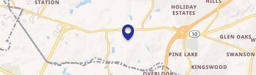
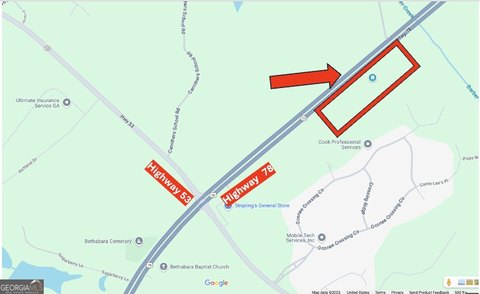
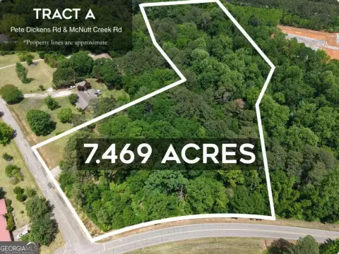
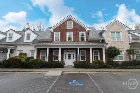
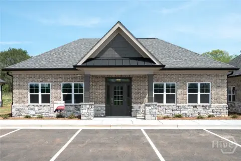
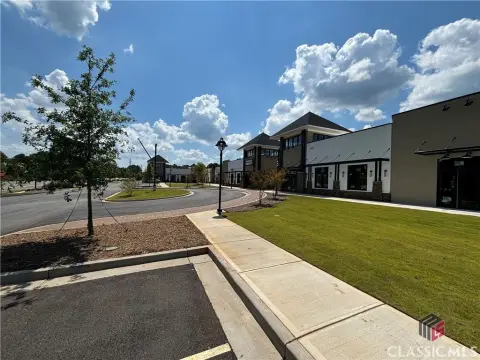
This exceptional 7-acre agricultural property presents a unique investment opportunity in the thriving Bogart, Georgia area. Located at the highly visible corner of Highway 78 (Monroe Highway) and Highway 53, this A-1 zoned parcel boasts significant road frontage: 745 feet along Highway 78 and 600 feet along Highway 53. The expansive lot size offers ample space for a variety of agricultural uses or potential development projects. A key advantage is the recently available sewer access, significantly enhancing the property's utility and potential for future expansion. The property's location provides excellent visibility and accessibility, making it an attractive option for businesses or individuals seeking a strategic location in a growing community. The APN is A 02 013F. The asking price is $3,499,000. This property is situated in Watkinsville, GA, zip code 30622, and offers a compelling blend of agricultural potential and strategic location. The coordinates are 33.9186427 latitude and -83.5183579 longitude. Don't miss this chance to acquire a substantial piece of land with significant development potential.
Cap rate
Implied · in-place · derived from last sale + estimated NOIValue
AI, CAP & Alternative Use estimations · Realmo proprietary blendComparables
6 recent transactions · within 1.5 miComparable in this City


Similar Nearby for Sale


Similar Nearby for Lease


Property description
Physical attributes from public recordsZoning & alternative use
No recorded transactions found for this property.
Costs & Benchmarks
Operating expenses, capex projections, utility benchmarks, and submarket comparables — all in one view.
Risks
Flood, climate, environmental, title, and tenant-concentration risk — surfaced with mitigations and source citations.


