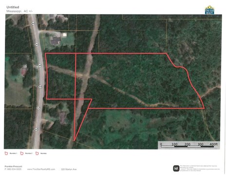
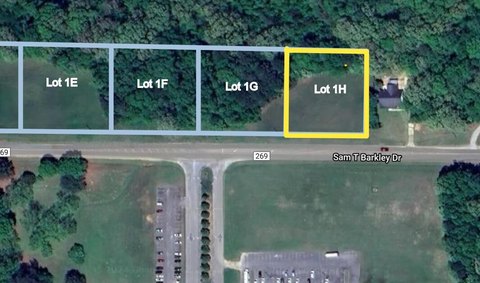
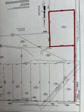
0 Denmill Rd New Albany, MS 38652
This exceptional 19.36-acre parcel of commercially zoned land presents a significant opportunity for industrial development. Located in New Albany, Mississippi, on Denmill Road, this property boasts an ideal location within Union County, offering easy access to key transportation routes and infrastructure. The land is designated for industrial use, providing flexibility for a variety of projects. The property's APN is 047N-16-005.00, and its precise location is 34.4795291 latitude and -88.9939892 longitude, with a zip code of 38652. The asking price for this expansive tract is $269,900. This represents a compelling investment opportunity given the size, zoning, and strategic location within a growing area. Prospective buyers will find this property well-suited for various industrial applications, offering substantial potential for return on investment. The property's size and zoning make it an attractive option for businesses seeking to establish or expand their operations in a prime location. Serious inquiries are encouraged to explore the possibilities of this valuable industrial land.
Cap rate
Implied · in-place · derived from last sale + estimated NOIValue
AI, CAP & Alternative Use estimations · Realmo proprietary blendComparables
6 recent transactions · within 1.5 miComparable in this City


Similar Nearby for Sale
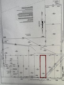
Property description
Physical attributes from public recordsZoning & alternative use
No recorded transactions found for this property.
Costs & Benchmarks
Operating expenses, capex projections, utility benchmarks, and submarket comparables — all in one view.
Risks
Flood, climate, environmental, title, and tenant-concentration risk — surfaced with mitigations and source citations.


