000 2850 Rd Milo, MO 64767
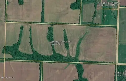
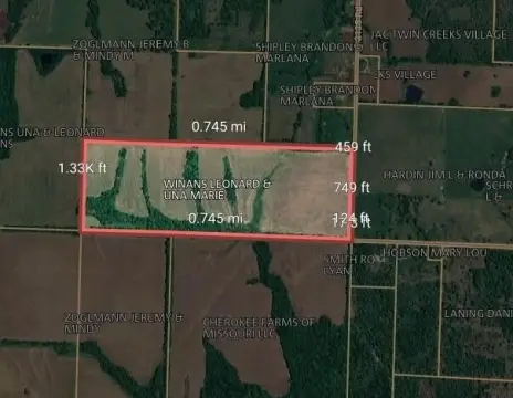
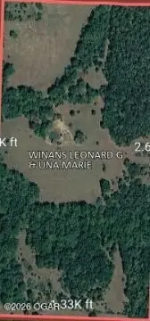
This exceptional 75.44-acre property in Vernon County, Missouri, near Milo (zip code 64767), offers unparalleled privacy and natural beauty. Accessed via a private 500-foot driveway, the land boasts a remarkable diversity of features including nearly 100 feet of elevation change, creating a varied landscape. Mature white oak trees dominate the property, complemented by cedar thickets, oak flats, and countless wild ferns. Two natural springs and approximately one-third of a mile of Mulberry Creek flow through the northeast portion of the land. A well-maintained trail system allows easy exploration of the entire acreage. Hunters will appreciate the established history of large deer (over 150 inches) and a thriving turkey population. A hidden food plot adds to the hunting opportunities. The property's serene atmosphere, free from road noise and urban distractions, provides a tranquil escape. The asking price for this unique recreational land is $315,000. Coordinates: Latitude 37.7763068, Longitude -94.118457.
Cap rate
Implied · in-place · derived from last sale + estimated NOIValue
AI, CAP & Alternative Use estimations · Realmo proprietary blendComparables
6 recent transactions · within 1.5 miComparable in this City


Similar Nearby for Sale

Property description
Physical attributes from public recordsZoning & alternative use
No recorded transactions found for this property.
Costs & Benchmarks
Operating expenses, capex projections, utility benchmarks, and submarket comparables — all in one view.
Risks
Flood, climate, environmental, title, and tenant-concentration risk — surfaced with mitigations and source citations.


