
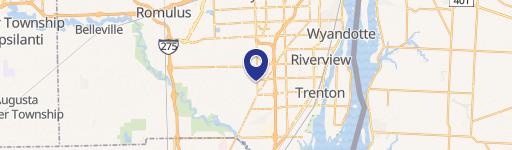
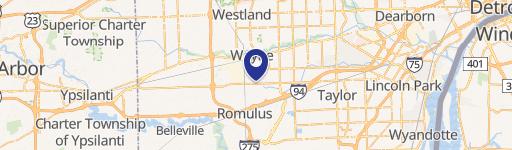
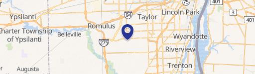
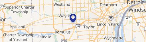
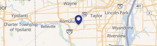
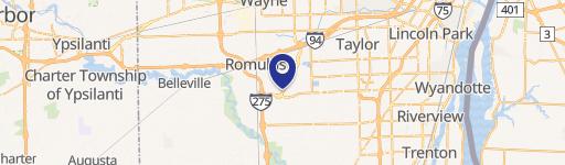
0 Side Of Eureka Rd, Romulus, MI 48174
This exceptional 3.531-acre parcel of land, situated on the south side of Eureka Road in Romulus, Michigan, presents a remarkable opportunity for residential development. The property, identified by APN numbers 80-138-99-0008-001 and 80-138-99-0007-001, is zoned R1A-S.F, making it ideally suited for various residential projects. Its convenient location offers easy access to all essential utilities, significantly streamlining the development process. The land is ready for immediate development, eliminating lengthy preparation delays. A key advantage is its proximity to the Metro Airport, enhancing its appeal and potential value. The asking price for this expansive and strategically located property is $500,000. This represents a compelling investment opportunity given the land's size, zoning, and prime location in the thriving Romulus, Michigan area (zip code 48174), within Wayne County. The property's coordinates are 42.195547 latitude and -83.3248211 longitude. Serious inquiries are encouraged.
Cap rate
Implied · in-place · derived from last sale + estimated NOIValue
AI, CAP & Alternative Use estimations · Realmo proprietary blendComparables
6 recent transactions · within 1.5 miComparable in this City


Similar Nearby for Sale


Similar Nearby for Lease


Property description
Physical attributes from public recordsZoning & alternative use
No recorded transactions found for this property.
Costs & Benchmarks
Operating expenses, capex projections, utility benchmarks, and submarket comparables — all in one view.
Risks
Flood, climate, environmental, title, and tenant-concentration risk — surfaced with mitigations and source citations.


