I-10 And Jackrabbit Trl Buckeye, AZ 85326
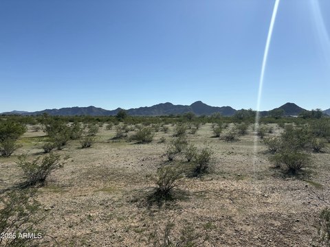
This exceptional 11.52-acre commercial land parcel is strategically located at the southeast corner of I-10 and Jackrabbit Trail in Buckeye, Arizona, zip code 85326. The property offers unparalleled visibility and accessibility due to its I-10 frontage and location at a full interchange on Jackrabbit Trail – one of only three such arterials connecting I-10 from Loop 303 to Sun Valley Parkway. This high-growth area is experiencing significant residential development, with over 15,900 new homes planned within a two-mile radius, ensuring a robust and expanding customer base for future commercial ventures. The entire 11.52 acres are available for purchase, or the seller will consider subdividing the land to accommodate various development needs. This presents a unique opportunity for investors and developers seeking a prominent location in a rapidly developing region of Maricopa County. The property's size and location make it ideal for a wide range of commercial uses, capitalizing on the high traffic counts and strong projected population growth. Detailed site plans and further information are available upon request. This is a rare opportunity to acquire a significant commercial land holding in a prime location with exceptional visibility and access.
Cap rate
Implied · in-place · derived from last sale + estimated NOIValue
AI, CAP & Alternative Use estimations · Realmo proprietary blendComparables
6 recent transactions · within 1.5 miComparable in this City


Similar Nearby for Sale


Similar Nearby for Lease


Property description
Physical attributes from public recordsZoning & alternative use
No recorded transactions found for this property.
Costs & Benchmarks
Operating expenses, capex projections, utility benchmarks, and submarket comparables — all in one view.
Risks
Flood, climate, environmental, title, and tenant-concentration risk — surfaced with mitigations and source citations.


