
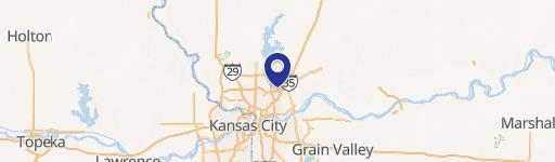
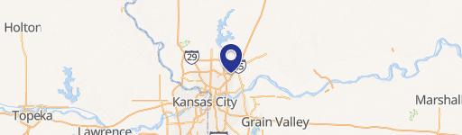
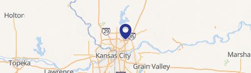
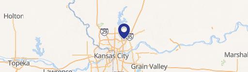
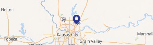
I-435 Highway, Kansas City, MO 64158
This exceptional 533.45-acre commercial land parcel presents a unique investment and development opportunity. Strategically located off Highway 152 between I-435 and Shoal Creek Parkway, this property boasts unparalleled access to major transportation arteries. Situated just outside Liberty, Missouri – one of the fastest-growing cities in the Kansas City metro area – this land offers significant potential for a variety of uses. The property's Kansas City address places it within the highly-rated Liberty, Missouri public school district, a significant draw for residential development. Its proximity to downtown Kansas City (approximately 15 minutes away) further enhances its appeal. The expansive acreage allows for a mixed-use development, potentially including apartments, office spaces, or retail establishments. This is a rare opportunity to acquire a large, contiguous parcel of prime development land, currently offered for sale as an investment or owner-user opportunity. Multiple parcels are available within the total acreage. This is a first-time-on-the-market offering of a truly exceptional development site. The property is located in Clay County, Missouri, with a zip code of 64158. The geographic coordinates are 39.2448463 latitude and -94.479697 longitude.
Cap rate
Implied · in-place · derived from last sale + estimated NOIValue
AI, CAP & Alternative Use estimations · Realmo proprietary blendComparables
6 recent transactions · within 1.5 miComparable in this City
Property description
Physical attributes from public recordsZoning & alternative use
No recorded transactions found for this property.
Costs & Benchmarks
Operating expenses, capex projections, utility benchmarks, and submarket comparables — all in one view.
Risks
Flood, climate, environmental, title, and tenant-concentration risk — surfaced with mitigations and source citations.


