
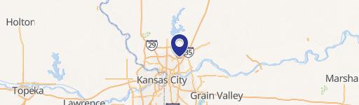
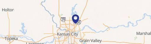
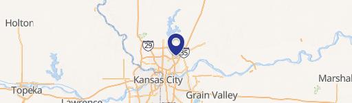
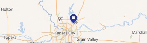
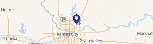
0 76Th St, Kansas City, MO 64158
This exceptional 19.93-acre parcel in Kansas City, Missouri's Shoal Creek Valley presents a unique development opportunity. Situated at the northwest corner of North Flintlock Road and NE 76th Street, zip code 64158, this land boasts a Shoal Creek Valley Master Planned Community (MPC-2) zoning designation, permitting a variety of uses including residential (single-family and townhomes), office, retail, and entertainment. While approximately 5.5 acres are within a floodplain, acting as a natural green space buffer, the remaining land offers approximately 11.25 net usable acres after accounting for a powerline easement. This property is ideally located along the active Highway 152 corridor, benefiting from excellent visibility and accessibility. The asking price is $708,750, and the property's APN is 14605000600100. This is a rare chance to capitalize on the thriving development within Shoal Creek Valley and create a successful project. The property's strategic location and flexible zoning make it an attractive investment for developers seeking to build a diverse and vibrant community. This land offers significant potential for substantial returns.
Cap rate
Implied · in-place · derived from last sale + estimated NOIValue
AI, CAP & Alternative Use estimations · Realmo proprietary blendComparables
6 recent transactions · within 1.5 miComparable in this City

Property description
Physical attributes from public recordsZoning & alternative use
No recorded transactions found for this property.
Costs & Benchmarks
Operating expenses, capex projections, utility benchmarks, and submarket comparables — all in one view.
Risks
Flood, climate, environmental, title, and tenant-concentration risk — surfaced with mitigations and source citations.


