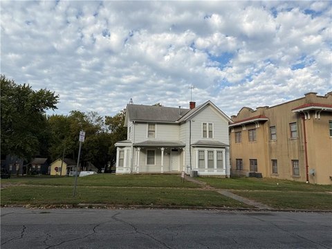
00000 Michals Rd Leavenworth, KS 66048
This exceptional 5.12-acre property is located at 00000 Michals Road in Leavenworth, Kansas, zip code 66048. The land is zoned for both residential and agricultural use, offering a unique blend of possibilities. Situated approximately half a mile from 20th Street, this parcel enjoys convenient access to city amenities while maintaining a peaceful, secluded atmosphere. The property is located on a paved road, ensuring easy accessibility year-round. Buyers will appreciate the quiet and private setting, ideal for those seeking a tranquil escape while remaining just minutes from the town of Leavenworth. The asking price for this remarkable opportunity is $190,000. The property's latitude and longitude coordinates are 39.2813362 and -94.9559747 respectively. This land presents a rare chance to build a home or pursue agricultural endeavors in a desirable location. The county is Leavenworth County.
Cap rate
Implied · in-place · derived from last sale + estimated NOIValue
AI, CAP & Alternative Use estimations · Realmo proprietary blendComparables
6 recent transactions · within 1.5 miComparable in this City


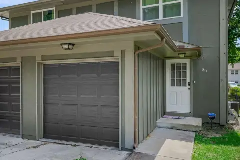
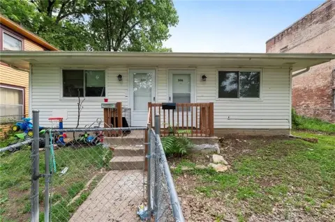
Similar Nearby for Sale

Similar Nearby for Lease


Property description
Physical attributes from public recordsZoning & alternative use
No recorded transactions found for this property.
Costs & Benchmarks
Operating expenses, capex projections, utility benchmarks, and submarket comparables — all in one view.
Risks
Flood, climate, environmental, title, and tenant-concentration risk — surfaced with mitigations and source citations.


