Current Use by Public Records
- Land
Property Details for 0 County Road 3610
- Lot size
- 6.55 lot acres
- Property type
- Land
- Property subtype
- Farms
Description
This 6.55-acre property in Pontotoc County, Oklahoma, presents a unique opportunity for diverse uses. Located near Stonewall, OK, zip code 74871, the land boasts a desirable, level terrain covered in grass atop rich sandy loam soil. A newer 12x30 three-sided metal building is already in place, providing potential storage or workshop space. The property benefits from the convenience of rural water access and offers shade from a few mature trees. Electric service is readily available via frontage on two paved roads. Partial fencing is in place, with the west side recently updated with a 5-foot top rail and no-climb wire fencing. The property is zoned AG, allowing for a variety of agricultural and residential possibilities. Its location in Ada, Oklahoma, offers a blend of rural tranquility and accessibility. The latitude and longitude coordinates are 34.70528043097593, -96.58262474317934 respectively. This versatile tract is priced affordably at $58,500 and is ready for its next chapter. County Road 3610 provides convenient access.
Value Estimations
-
AI approach
-
CAP approach
-
Comparable approach
-
Alternative Use
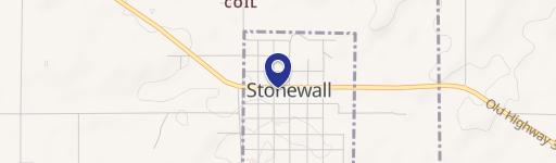
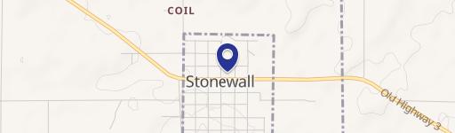
Location Insight
- Map
- Local Demand
- City
- Ada
- County
- Pontotoc
- State
- Oklahoma
- Longitude
- -96.5826
- Latitude
- 34.7053