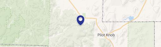
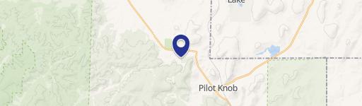
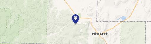
0 Highway Middle Brook, MO 63656
This exceptional 54.6-acre property in Iron County, Missouri, presents a unique opportunity for both recreational pursuits and potential residential development. Located near Middle Brook, on Highway N, zip code 63656, this land boasts the East Fork of the Black River running through it, providing excellent water access for fishing and other water-based activities. Abundant wildlife, including deer, turkey, and wild hogs, makes this an ideal location for hunting enthusiasts. The property's natural beauty is further enhanced by picturesque views of the surrounding Arcadia Valley. Existing improvements include a well and septic system, along with readily available electricity, simplifying the process of building a home or cabin. Conveniently located just 10 minutes from Ironton and less than two hours from St. Louis, this property offers a perfect blend of seclusion and accessibility, making it suitable for a full-time residence or a peaceful weekend retreat. The property's versatility and natural amenities make it a highly desirable investment.
Cap rate
Implied · in-place · derived from last sale + estimated NOIValue
AI, CAP & Alternative Use estimations · Realmo proprietary blendComparables
6 recent transactions · within 1.5 miComparable in this City


Property description
Physical attributes from public recordsZoning & alternative use
No recorded transactions found for this property.
Costs & Benchmarks
Operating expenses, capex projections, utility benchmarks, and submarket comparables — all in one view.
Risks
Flood, climate, environmental, title, and tenant-concentration risk — surfaced with mitigations and source citations.


