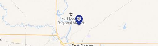
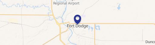
0 0727226004 Fort Dodge, IA 50501
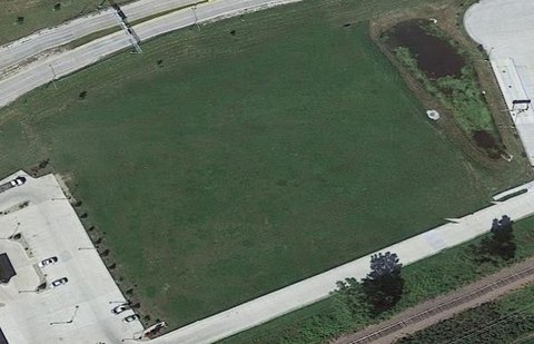
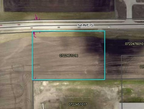
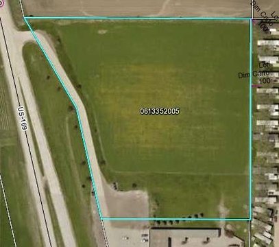
This exceptional 4.94-acre commercial land parcel presents a unique investment opportunity in Fort Dodge, Iowa. Located in Webster County, this property, identified by APN 0727226004, is zoned for commercial use under the "Other" designation. The expansive lot size offers significant potential for a variety of commercial developments. Its strategic location within Fort Dodge, zip code 50501, provides convenient access to key transportation routes and established businesses. The property's coordinates are 42.5136902 latitude and -94.19234 longitude. This is a blank canvas for your vision, allowing for the creation of a custom-designed commercial space tailored to your specific needs. The asking price of $494,000 makes this a compelling proposition for investors seeking a high-return opportunity in a growing market. Serious inquiries are encouraged to explore the possibilities this prime commercial land offers. Don't miss this chance to acquire a substantial piece of commercial real estate in a desirable location. Further details regarding permitted uses under the "Other" zoning classification are available upon request.
Cap rate
Implied · in-place · derived from last sale + estimated NOIValue
AI, CAP & Alternative Use estimations · Realmo proprietary blendComparables
6 recent transactions · within 1.5 miComparable in this City


Similar Nearby for Sale


Property description
Physical attributes from public recordsZoning & alternative use
No recorded transactions found for this property.
Costs & Benchmarks
Operating expenses, capex projections, utility benchmarks, and submarket comparables — all in one view.
Risks
Flood, climate, environmental, title, and tenant-concentration risk — surfaced with mitigations and source citations.


