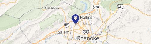
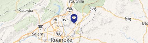
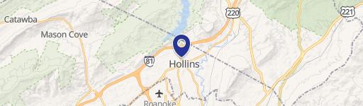
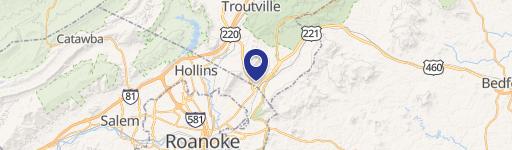
0 Cloverdale Rd Roanoke, VA 24019
This exceptional 10.65-acre commercial land parcel presents a remarkable development opportunity in Roanoke, Virginia. Located at 0 Cloverdale Road, zip code 24019, this property boasts a highly desirable location with excellent visibility due to its frontage along Highway 220. The land is characterized by its flat topography, simplifying development and minimizing site preparation costs. The asking price is $275,000, translating to a land value of $0.59 per square foot. This strategic location offers convenient access to major thoroughfares including Highway 460 and Interstate 81, providing seamless connectivity to Roanoke, Botetourt County, and Roanoke County. The high traffic count on Highway 220 ensures significant exposure for any future development, making this an ideal site for a variety of commercial ventures. The property's size and location combine to create a compelling investment opportunity with substantial potential for growth and return. This is a rare chance to acquire a sizable, well-situated parcel ready for immediate development in a thriving area.
Cap rate
Implied · in-place · derived from last sale + estimated NOIValue
AI, CAP & Alternative Use estimations · Realmo proprietary blendComparables
6 recent transactions · within 1.5 miComparable in this City


Similar Nearby for Sale


Similar Nearby for Lease


Property description
Physical attributes from public recordsZoning & alternative use
No recorded transactions found for this property.
Costs & Benchmarks
Operating expenses, capex projections, utility benchmarks, and submarket comparables — all in one view.
Risks
Flood, climate, environmental, title, and tenant-concentration risk — surfaced with mitigations and source citations.


