1728 Shepherd Ln Foristell, MO 63348
- Commercial real estate
- 6.94 lot acres
Current Use by Public Records
- Commercial real estate
Property Details for 1728 Shepherd Ln
- Lot size
- 6.94 lot acres
- Property type
- Commercial real estate
- APN
- 40016S029000013.3000000
Description
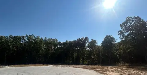
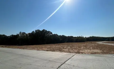
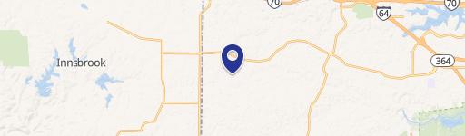
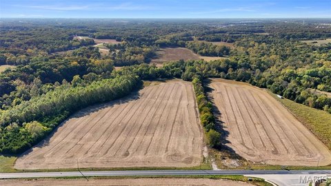
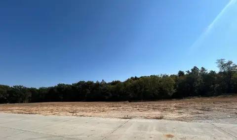
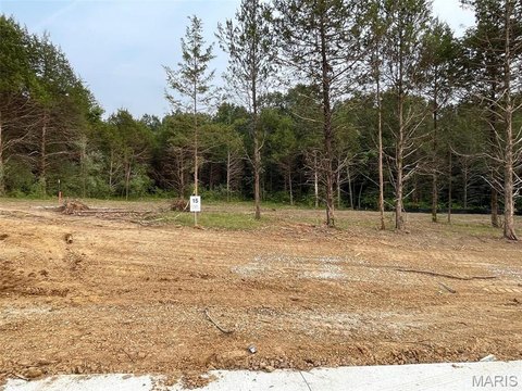
This exceptional 6.944-acre commercial land parcel presents a remarkable investment opportunity in Foristell, Missouri. Located at 1728 Shepherd Ln, this strategically positioned property boasts significant future development potential. Currently zoned for commercial use, the St. Charles County Master Plan projects full commercial zoning by 2030, opening doors to a wide range of possibilities, including retail, office space, and multi-family housing. Its proximity to Highway 70 and the new community college project at Schaper Rd and Interstate Drive enhances its appeal. The projected Interstate Drive extension is anticipated to run through the southern portion of the property, providing valuable frontage. The lot has already undergone partial clearing, leveling, and graveling, streamlining the development process. With its ideal location, projected zoning changes, and existing site preparation, this property offers a compelling investment for forward-thinking developers. The asking price is $974,000. The property's APN is 40016S029000013.3000000. This privately owned land (63348 zip code) presents a unique chance to capitalize on the growth and development projected for Western St. Charles County. The property's latitude and longitude coordinates are 38.804105 and -90.928054 respectively.
Value Estimations
-
AI approach
-
CAP approach
-
Comparable approach
-
Alternative Use
Get a detailed, property-specific valuation — fast and free
Location Insight
- Map
- Local Demand
- City
- Foristell
- County
- St. Charles
- State
- Missouri
- Longitude
- -90.928054
- Latitude
- 38.804105