
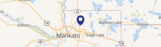
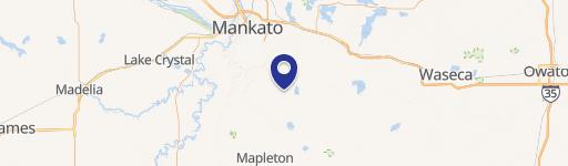
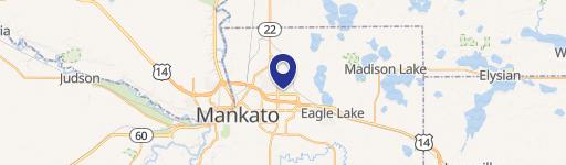
0 Hoffman Rd & State Hwy 22 -, Mankato, MN 56001
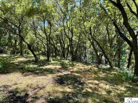
This exceptional 2.43-acre parcel, identified as Lot J in the Prairie Winds Development, presents a remarkable opportunity in Mankato, Minnesota. Located at the intersection of Hoffman Road and State Highway 22, this residential land boasts a highly desirable location within a thriving community. The property is part of a larger, approximately 35-acre development that is strategically positioned adjacent to established residential areas and existing retail businesses, including Kwik Trip, Nupa, and Hyland Dental. The surrounding area is experiencing significant growth, with a planned multi-family housing development anticipated to add 180-200 luxury units. This development's strategic placement offers excellent visibility and accessibility, making it suitable for a variety of uses. The property's zoning allows for potential development including retail, office, hospitality/restaurant, and childcare facilities. The APN numbers for this property are R01.09.15.303.001, R01.09.15.301.001, R01.09.15.301.002, R01.09.15.302.001, R01.09.15.302.002, and R01.09.15.302.003. This prime location in Mankato, MN (zip code 56001), situated in Blue Earth County, offers unparalleled potential for investors and developers seeking a strong foothold in a rapidly expanding market. The coordinates are 44.1559816 latitude and -93.9489166 longitude.
Cap rate
Implied · in-place · derived from last sale + estimated NOIValue
AI, CAP & Alternative Use estimations · Realmo proprietary blendComparables
6 recent transactions · within 1.5 miComparable in this City


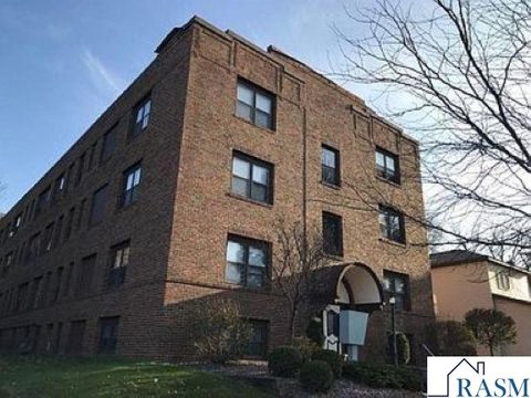
Similar Nearby for Sale

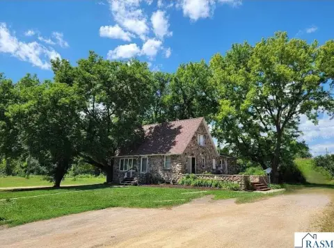
Similar Nearby for Lease


Property description
Physical attributes from public recordsZoning & alternative use
No recorded transactions found for this property.
Costs & Benchmarks
Operating expenses, capex projections, utility benchmarks, and submarket comparables — all in one view.
Risks
Flood, climate, environmental, title, and tenant-concentration risk — surfaced with mitigations and source citations.


