6143 Johnson Rd Buckeye, AZ 85326
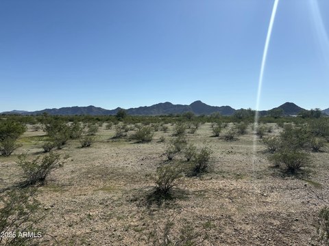
This exceptional 160-acre parcel presents a unique investment opportunity in the rapidly growing Buckeye, Arizona area. Located in Maricopa County, with the address of 6143 S Johnson Rd, zip code 85326, and APN 504-64-013, this property boasts a strategic location between Baseline Road and Southern Avenue, offering significant development potential. The land is zoned R-43 and is situated within a designated Opportunity Zone, providing attractive tax benefits for investors. A key advantage is its un-annexed status within the City of Buckeye, allowing for greater flexibility in development plans. The property features approximately one mile of frontage along Johnson Road, a significant asset given the planned interchange at Interstate 10, enhancing accessibility and visibility. Its proximity to the recently approved Buckeye Tech Corridor further underscores its potential for substantial future growth and value appreciation. This versatile land is suitable for a variety of commercial, industrial, and agricultural uses, making it an ideal investment for developers seeking a prime location in a thriving market. The property's latitude and longitude coordinates are 33.382045 and -112.709713 respectively.
Cap rate
Implied · in-place · derived from last sale + estimated NOIValue
AI, CAP & Alternative Use estimations · Realmo proprietary blendComparables
6 recent transactions · within 1.5 miComparable in this City


Similar Nearby for Sale


Similar Nearby for Lease


Property description
Physical attributes from public recordsZoning & alternative use
No recorded transactions found for this property.
Costs & Benchmarks
Operating expenses, capex projections, utility benchmarks, and submarket comparables — all in one view.
Risks
Flood, climate, environmental, title, and tenant-concentration risk — surfaced with mitigations and source citations.


