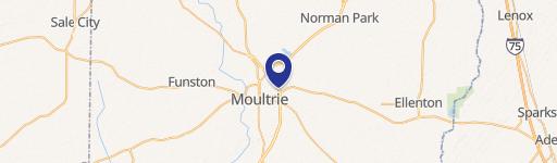
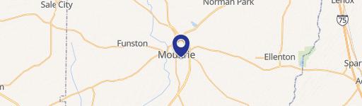
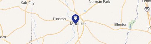
901 10Th St Moultrie, GA 31768
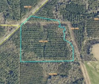
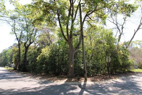
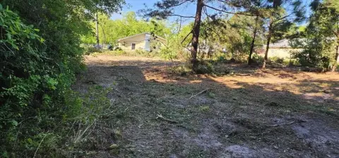
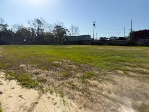
This 2.26-acre residential lot is situated in southeast Moultrie, Georgia, at 901 10th St SE, zip code 31768. The property is a blend of wooded and cleared land, offering potential for development. A drainage ditch runs along one corner of the property, however, two viable homesites remain. The location is convenient to local amenities, making it an attractive option for residential construction. The asking price for this Colquitt County land is $28,000. The property's GPS coordinates are latitude 31.1710234 and longitude -83.7773391. This parcel presents a unique opportunity for those seeking to build in a desirable area of Moultrie. Buyers are encouraged to conduct their own due diligence regarding zoning regulations and building permits. The property is being sold as-is.
Cap rate
Implied · in-place · derived from last sale + estimated NOIValue
AI, CAP & Alternative Use estimations · Realmo proprietary blendComparables
6 recent transactions · within 1.5 miComparable in this City
Similar Nearby for Sale


Property description
Physical attributes from public recordsZoning & alternative use
No recorded transactions found for this property.
Costs & Benchmarks
Operating expenses, capex projections, utility benchmarks, and submarket comparables — all in one view.
Risks
Flood, climate, environmental, title, and tenant-concentration risk — surfaced with mitigations and source citations.


