Current Use by Public Records
- Land
Property Details for 3240 Fm 511
- Lot size
- 21.85 lot acres
- Property type
- Land
- Property subtype
- Industrial properties
Description
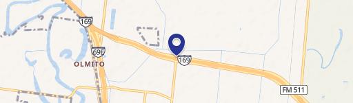
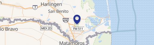
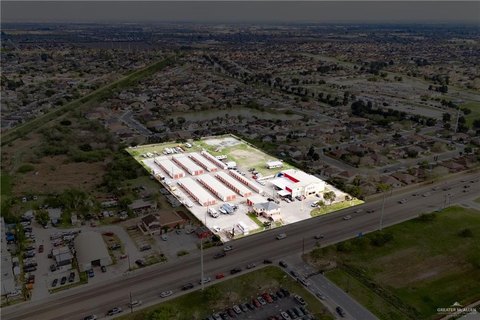
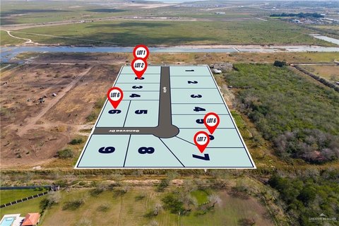
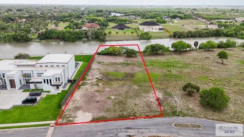
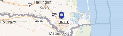
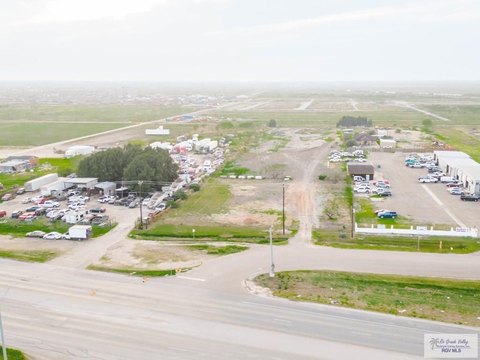
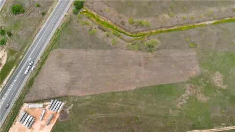
This exceptional 21.85-acre tract presents a compelling investment opportunity in Brownsville, Texas. Strategically located on State Highway 550/FM 511, this property boasts approximately 527 feet of frontage on the south side of FM 511/SH 550 and around 408 feet of frontage along the north side of Dr. Hugh Emerson Road. Its prime location offers unparalleled access to major transportation arteries, including Interstate 69E and the Port of Brownsville, situated less than five miles away. The property's proximity to significant developments further enhances its value. These include SpaceX (approximately 20 miles), the new Rio Grande LNG plant (approximately 15 miles), and the Brownsville/South Padre Island International Airport (approximately 7 miles). The Brownsville's three international bridges are all within an 11-mile radius. Currently zoned R-1 Residential Single Family, the property's location within a mixed-use area suggests potential for zoning changes, opening possibilities for industrial or commercial development, or a combination of both residential and industrial uses. The APN is 166625-166626. The asking price for this significant land parcel is $1,950,000. This property is situated in Cameron County, Texas, with the address listed as 3240 FM511, Brownsville, TX 78526.
Value Estimations
-
AI approach
-
CAP approach
-
Comparable approach
-
Alternative Use
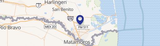
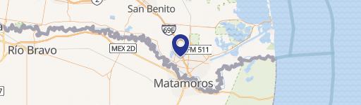
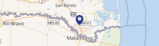
Location Insight
- Map
- Local Demand
- City
- Brownsville
- County
- Cameron
- State
- Texas
- Longitude
- -97.4712
- Latitude
- 26.0057