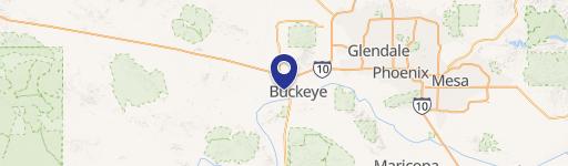
0 Johnson Rd Buckeye, AZ 85326
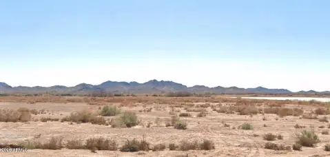
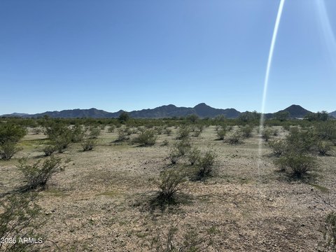
This exceptional 11.388-acre property, located in the desirable Palo Verde area of Buckeye, Arizona, presents a rare opportunity for various uses. Situated on Johnson Road, the land boasts stunning views of the surrounding mountains and agricultural landscape. The property is zoned R-43, offering flexibility for residential development. Its expansive size makes it ideal for creating a spacious homesite, establishing a small ranch, or developing a horse property. The parcel's location in Maricopa County, with a zip code of 85326, provides convenient access to local amenities while maintaining a tranquil, rural setting. The asking price for this unique property is $600,000. The Assessor's Parcel Number (APN) is 401-27-011E. This is a truly remarkable opportunity to acquire a significant piece of land in a highly sought-after area. Don't miss out on this chance to own a piece of Arizona's beauty and potential.
Cap rate
Implied · in-place · derived from last sale + estimated NOIValue
AI, CAP & Alternative Use estimations · Realmo proprietary blendComparables
6 recent transactions · within 1.5 miComparable in this City

Similar Nearby for Sale


Similar Nearby for Lease


Property description
Physical attributes from public recordsZoning & alternative use
No recorded transactions found for this property.
Costs & Benchmarks
Operating expenses, capex projections, utility benchmarks, and submarket comparables — all in one view.
Risks
Flood, climate, environmental, title, and tenant-concentration risk — surfaced with mitigations and source citations.


