MC-85 North Buckeye, AZ 85326
Property profile & analytics
Location Intelligence
Current Use by Public Records
- Land
Property Details for MC-85 North
- Lot size
- 42.37 lot acres
- Property type
- Land
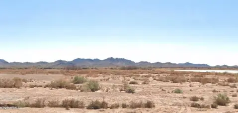
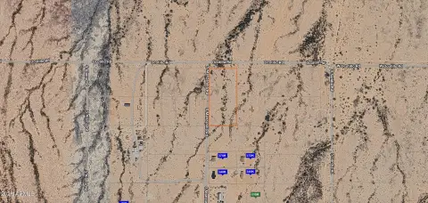
Description
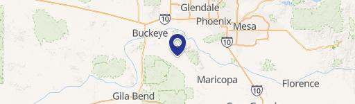
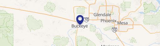
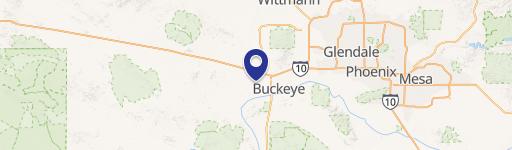
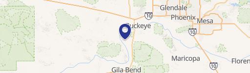
This exceptional 42.37-acre land parcel presents a compelling investment opportunity in Buckeye, Arizona. Located at North MC-85, East of Watson, this property boasts a desirable RR zoning designation, opening doors to a variety of development possibilities. The expansive lot size offers significant potential for future projects. The assessed land value is $3.50 per square foot, resulting in an asking price of $8,305,159. The property's convenient location in Maricopa County, Arizona, provides easy access to key transportation routes and amenities. The precise location is further identified by the following Assessor's Parcel Numbers (APNs): 504-45-013B, 504-45-015B, 504-45-011B, and 504-45-014D. This property is being offered for sale and represents a rare chance to acquire a substantial land holding in a rapidly growing area of Arizona. The geographical coordinates are 33.3775565 latitude and -112.4761277 longitude, providing precise location data for interested parties. The zip code for this property is 85326. This significant land parcel is ready for its next chapter, offering substantial potential for developers and investors alike. Serious inquiries are encouraged.
Value Estimations
based on Realmo’s proprietary methodology
-
AI approach
-
CAP approach
-
Comparable approach
-
Alternative Use
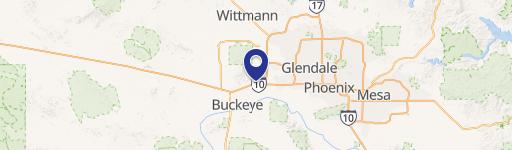
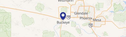
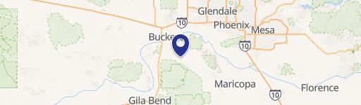
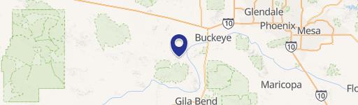
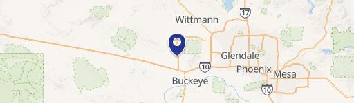
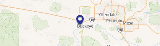
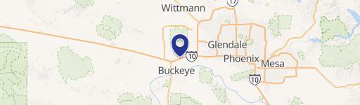
Location Insight
- Map
- Local Demand
- City
- Buckeye
- County
- Maricopa
- State
- Arizona
- Longitude
- -112.476
- Latitude
- 33.3776