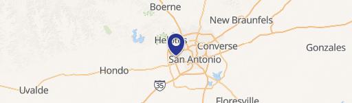
0 Potranco Rd San Antonio, TX 78245
This exceptional ±8.42-acre tract in San Antonio, Texas, presents a remarkable opportunity for mixed-use development. Strategically located between Potranco Road and Ingram Road in Bexar County, zip code 78245, this divisible property boasts excellent visibility and frontage on State Highway 151, Hunt Lane, Vista West Drive, and Ingram Road. The property is zoned MPCD - GC2/C3, a commercial zoning designation permitting a wide array of uses, including but not limited to retail, office, medical facilities, senior living, hotels, self-storage, and charter schools. Three potential pad sites are available, measuring approximately 46,000 square feet, 43,000 square feet, and 55,000 square feet, respectively. Additionally, a 5.34-acre tract (Tract A) is also available. The site benefits from a high daily traffic count of 109,427 vehicles per day (source: CoStar), ensuring significant exposure for any development. Situated on the southern edge of the Westover Hills submarket, this location is ideal, given the area's growth as a hub for corporate campuses and data centers. The west side of San Antonio continues to experience rapid commercial and residential expansion, driven by readily available utilities and technology infrastructure, comparatively lower development costs, moderately priced land, and the absence of Edwards Aquifer Recharge Zone restrictions. Utilities are available on-site. Contact for pricing details.
Cap rate
Implied · in-place · derived from last sale + estimated NOIValue
AI, CAP & Alternative Use estimations · Realmo proprietary blendComparables
6 recent transactions · within 1.5 miComparable in this City

Similar Nearby for Sale


Similar Nearby for Lease


Property description
Physical attributes from public recordsZoning & alternative use
No recorded transactions found for this property.
Costs & Benchmarks
Operating expenses, capex projections, utility benchmarks, and submarket comparables — all in one view.
Risks
Flood, climate, environmental, title, and tenant-concentration risk — surfaced with mitigations and source citations.


