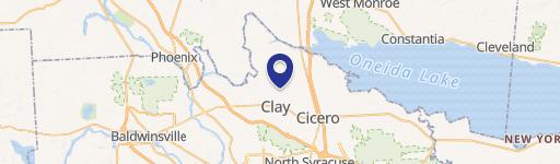
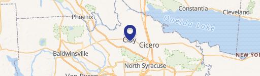
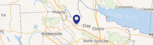
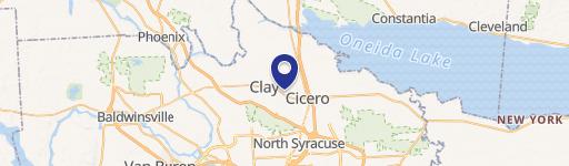
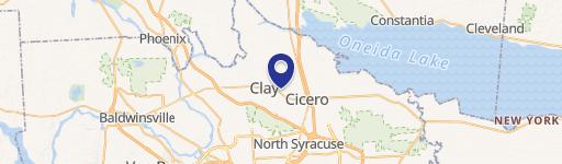
0 Rte 31 & Caughdenoy Rd Clay, NY 13041
This exceptional 131.6-acre parcel, located at the intersection of Route 31 and Caughdenoy Road in Clay, NY (zip code 13041), presents a unique investment opportunity. Situated in Onondaga County, this property boasts an I-2 Industrial 2 zoning designation, allowing for diverse development options including industrial, office, retail, and housing uses. The site is strategically positioned kitty-corner from the significant Micron/White Pine Commerce Park, offering unparalleled access to a growing workforce and established infrastructure. Approximately 40 acres are already cleared and ready for immediate development, while up to 81 contiguous acres are available on the signalized southwest corner of the intersection. Existing utilities, including gas, water, and electric, are readily accessible on-site. The property's central location along Route 31 places it midway between I-81 in Cicero and I-481 in Clay, ensuring excellent regional connectivity. Its proximity to the Route 31 retail corridor, featuring numerous national and regional businesses, further enhances its appeal. Two parcels are adjacent to the CSX Railroad, providing additional logistical advantages. Several purchase options are available to accommodate various development scenarios. This prime location is ideal for supporting ancillary industrial needs during the Micron construction phases and for future residential and commercial growth. The APN is 063.-01-38.1.
Cap rate
Implied · in-place · derived from last sale + estimated NOIValue
AI, CAP & Alternative Use estimations · Realmo proprietary blendComparables
6 recent transactions · within 1.5 miComparable in this City

Similar Nearby for Sale


Property description
Physical attributes from public recordsZoning & alternative use
No recorded transactions found for this property.
Costs & Benchmarks
Operating expenses, capex projections, utility benchmarks, and submarket comparables — all in one view.
Risks
Flood, climate, environmental, title, and tenant-concentration risk — surfaced with mitigations and source citations.


