0 Sacajawea Rd Sedalia, MO 65301
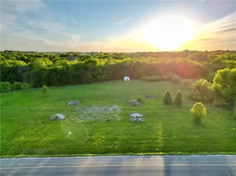
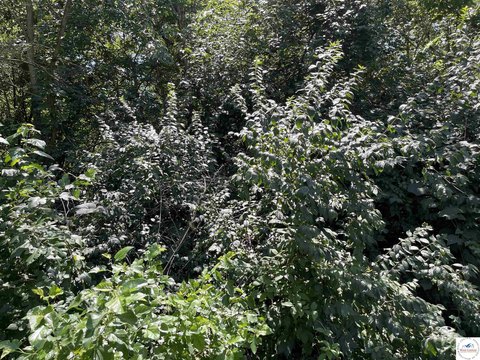
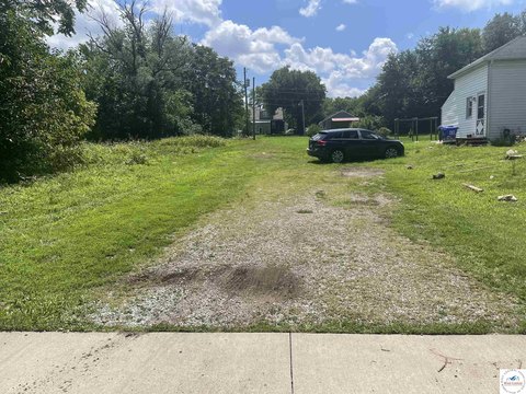
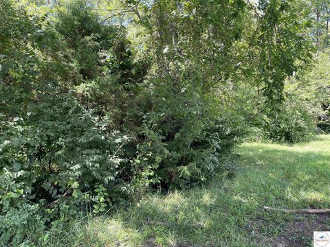
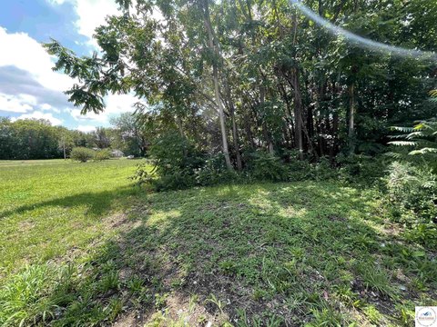
This exceptional 2-acre residential lot is situated just outside the southwest corner of Sedalia, Missouri, offering a tranquil yet convenient location. The property, identified as Lot D-9 on Sacajawea Road, boasts a desirable address in Pettis County, zip code 65301. Already surveyed and fully fenced, this parcel is ready for immediate development, saving you time and expense. Its strategic location provides easy access to major transportation arteries, including B Highway, South 65 Highway, and Clarendon Road, ensuring seamless commutes and convenient access to Sedalia's amenities. The property's 2-acre size presents ample space for building your dream home or exploring various residential development opportunities. The asking price for this remarkable property is $96,000. With its ideal location, surveyed boundaries, and existing fencing, this lot represents a rare opportunity to acquire a prime residential building site in a sought-after area of Sedalia. Don't miss out on this chance to secure your future in this desirable Missouri community. The coordinates for the property are latitude 38.6702799 and longitude -93.2826279.
Cap rate
Implied · in-place · derived from last sale + estimated NOIValue
AI, CAP & Alternative Use estimations · Realmo proprietary blendComparables
6 recent transactions · within 1.5 miComparable in this City


Similar Nearby for Sale

Similar Nearby for Lease
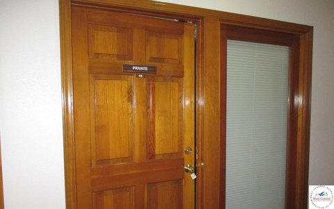
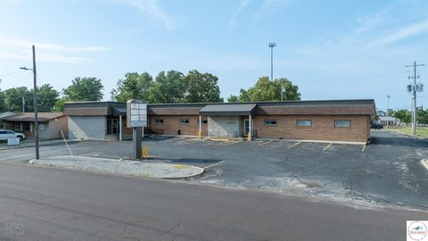
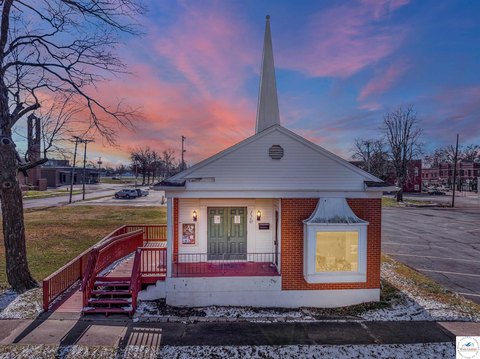
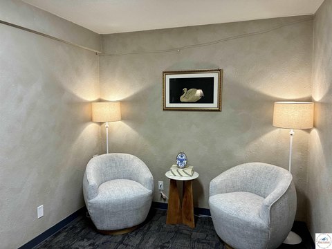

Property description
Physical attributes from public recordsZoning & alternative use
No recorded transactions found for this property.
Costs & Benchmarks
Operating expenses, capex projections, utility benchmarks, and submarket comparables — all in one view.
Risks
Flood, climate, environmental, title, and tenant-concentration risk — surfaced with mitigations and source citations.


