Current Use by Public Records
- Land
Property Details for 0 Pennsylania Rd
- Lot size
- 40.00 lot acres
- Property type
- Land
Description
This exceptional 40-acre parcel of land, located on Pennsylvania Rd in Taylor, Michigan (Wayne County, zip code 48180), presents a remarkable investment opportunity. Currently zoned residential, the property offers significant potential for various development projects. The land boasts excellent topography and attractive natural features, making it particularly suitable for a unique residential development, either multi-family or single-family homes. The city of Taylor is open to exploring alternative uses, including high-density residential projects or light industrial applications. The asking price is $2,175,000. The property consists of one pad and is conveniently located at the coordinates 42.1833888 latitude and -83.2684147 longitude. This is a rare chance to acquire a substantial land holding in a desirable location with flexibility in permitted uses. Serious inquiries are encouraged.
Value Estimations
-
AI approach
-
CAP approach
-
Comparable approach
-
Alternative Use
Location Insight
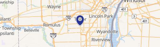
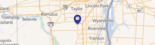
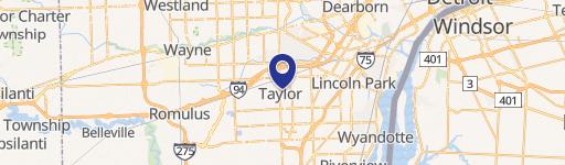
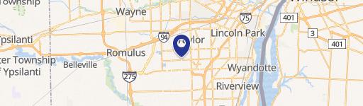
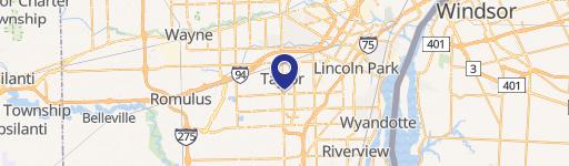
- Map
- Local Demand
- City
- Taylor
- County
- Wayne
- State
- Michigan
- Longitude
- -83.2684
- Latitude
- 42.1834