0 I-69/465 Indianapolis, IN 46250
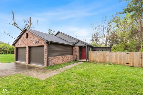
This exceptional 9.83-acre commercial land parcel presents a unique investment opportunity in Indianapolis, Indiana. Strategically located at the intersection of I-69 and I-465, this property boasts unparalleled visibility and accessibility. The C-5 zoning allows for a wide range of commercial uses, making it highly versatile and attractive to various businesses. All utilities are readily available on-site, simplifying development and reducing upfront costs. The property's high-traffic location is a significant advantage, with average daily traffic counts exceeding 153,000 on I-69 and 143,000 on I-465, ensuring maximum exposure for any development. Its proximity to Community Hospital North, Community Heart and Vascular Hospital, and Community Rehabilitation Hospital makes it particularly well-suited for healthcare-related businesses. The C-5 zoning also permits outdoor uses, such as displays and entertainment venues. Further enhancing its appeal, the Nickle Plate pedestrian trail is under construction along the western property line, adding to the area's vibrancy and walkability. This property is offered at $5,700,000 and represents a compelling investment in a rapidly growing area of Indianapolis. The zip code is 46250.
Cap rate
Implied · in-place · derived from last sale + estimated NOIValue
AI, CAP & Alternative Use estimations · Realmo proprietary blendComparables
6 recent transactions · within 1.5 miComparable in this City


Similar Nearby for Sale


Similar Nearby for Lease


Property description
Physical attributes from public recordsZoning & alternative use
No recorded transactions found for this property.
Costs & Benchmarks
Operating expenses, capex projections, utility benchmarks, and submarket comparables — all in one view.
Risks
Flood, climate, environmental, title, and tenant-concentration risk — surfaced with mitigations and source citations.


