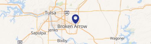
0 Ok 351 & 209 Ave Broken Arrow, OK 74014
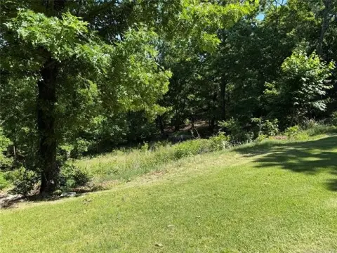
This exceptional 77.11-acre property presents a unique investment opportunity in Broken Arrow, Oklahoma. Strategically located at the intersection of NW County Road 351 and 209th East Avenue, the site boasts unparalleled visibility from both the Muskogee Turnpike (OK 351) and the Creek Turnpike, ensuring high traffic exposure for any future development. The land is designated as Level 3 in the Broken Arrow Comprehensive Plan, suggesting suitability for a range of commercial ventures. Access is readily available from 209th East Avenue. The asking price for this expansive parcel is $8,500,000, translating to an attractive price point of $110,000 per acre. Given its prime location, visibility, and development potential, this property represents a compelling investment opportunity in a rapidly growing area of Tulsa County. The property's location in Broken Arrow, Oklahoma, with a zip code of 74014, offers easy access to major transportation arteries and a thriving local economy. This significant acreage presents a rare chance to acquire a substantial land holding with exceptional potential for future growth and development.
Cap rate
Implied · in-place · derived from last sale + estimated NOIValue
AI, CAP & Alternative Use estimations · Realmo proprietary blendComparables
6 recent transactions · within 1.5 miComparable in this City


Similar Nearby for Sale


Similar Nearby for Lease


Property description
Physical attributes from public recordsZoning & alternative use
No recorded transactions found for this property.
Costs & Benchmarks
Operating expenses, capex projections, utility benchmarks, and submarket comparables — all in one view.
Risks
Flood, climate, environmental, title, and tenant-concentration risk — surfaced with mitigations and source citations.


