0 Smirl Dr Heath, TX 75032
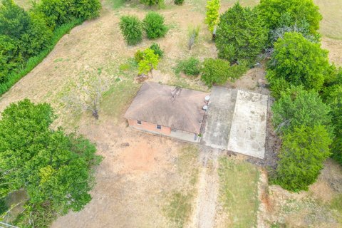
This exceptional 11-acre parcel of commercial land presents a unique investment opportunity in the rapidly growing city of Heath, Texas, located within Rockwall County. Situated on Smirl Drive, with GPS coordinates 32.8504889 latitude and -96.4829136 longitude, this property offers significant potential for a variety of commercial developments. The expansive acreage provides ample space for large-scale projects, catering to the increasing demand for commercial properties in the area. Its location in Heath, TX, zip code 75032, ensures convenient access to major transportation routes and a thriving community. The property's zoning (not specified) will need to be verified by the prospective buyer to determine the permissible uses. This land presents a blank canvas for developers seeking to capitalize on the robust economic growth and strategic location within Rockwall County. The property's size and location make it ideal for a wide range of commercial ventures, from retail and office spaces to industrial facilities or mixed-use developments. Serious inquiries are encouraged to explore the possibilities this exceptional property offers. Further due diligence is recommended to confirm all aspects of the property and its suitability for intended use.
Cap rate
Implied · in-place · derived from last sale + estimated NOIValue
AI, CAP & Alternative Use estimations · Realmo proprietary blendComparables
6 recent transactions · within 1.5 miComparable in this City


Similar Nearby for Sale


Similar Nearby for Lease


Property description
Physical attributes from public recordsZoning & alternative use
No recorded transactions found for this property.
Costs & Benchmarks
Operating expenses, capex projections, utility benchmarks, and submarket comparables — all in one view.
Risks
Flood, climate, environmental, title, and tenant-concentration risk — surfaced with mitigations and source citations.


