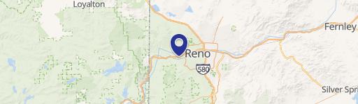
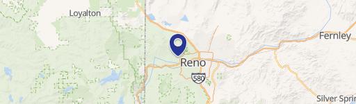
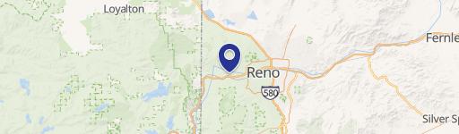
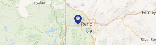
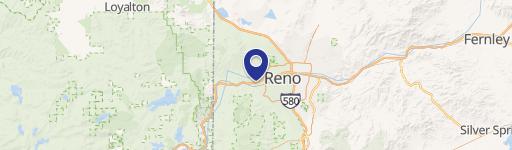
3130 Sandestin Dr Reno, NV 89523
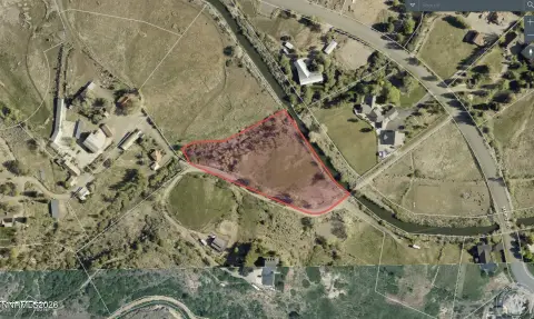
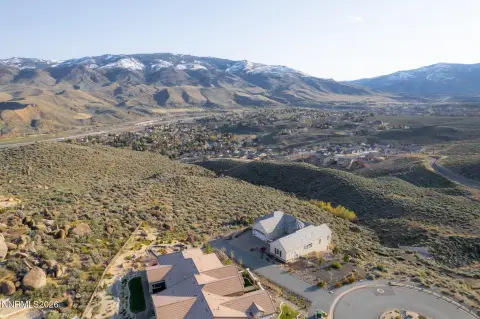
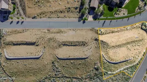
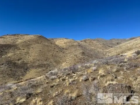
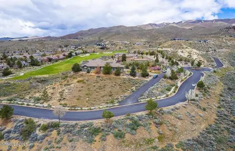
This exceptional 206.85-acre land parcel presents a unique residential development opportunity in Northwest Reno, Nevada. An approved tentative map allows for the creation of 67 homesites, ranging from 7,000 to 17,800 square feet, averaging 9,162 square feet. The property boasts two city-approved access points, ensuring convenient access for future residents. The land is comprised of 132 acres zoned as Specific Planning District and an additional 35 acres zoned SP3, SP5, and Open Space. Utilities are readily available, with water service provided by the Truckee Meadows Water Authority and sewer service by the City of Reno. The property's prime location, just east of the Somersett Master Planned Community, offers incredible views of Downtown Reno and the surrounding mountains. Its proximity to I-80 provides easy access to employment centers in downtown Reno and the Tahoe Reno Industrial Center. The asking price is $2,100,000, translating to $10,150 per acre and approximately $31,343 per lot. The APNs are 081-160-17, 081-160-18, 081-160-19, 081-160-34, and 208-510-10. Vast open space to the north provides opportunities for hiking and mountain biking. The median new home price in this submarket currently exceeds $1 million, indicating strong potential for significant return on investment. This is a rare chance to acquire a substantial land holding in a highly desirable area of Reno.
Cap rate
Implied · in-place · derived from last sale + estimated NOIValue
AI, CAP & Alternative Use estimations · Realmo proprietary blendComparables
6 recent transactions · within 1.5 miComparable in this City

Similar Nearby for Sale

Similar Nearby for Lease


Property description
Physical attributes from public recordsZoning & alternative use
No recorded transactions found for this property.
Costs & Benchmarks
Operating expenses, capex projections, utility benchmarks, and submarket comparables — all in one view.
Risks
Flood, climate, environmental, title, and tenant-concentration risk — surfaced with mitigations and source citations.


