
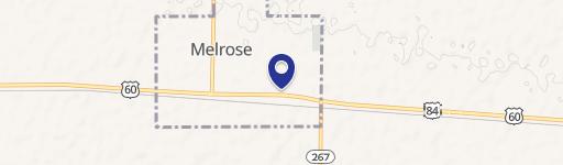
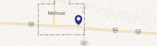
1398 Curry Rd, Melrose, NM 88124
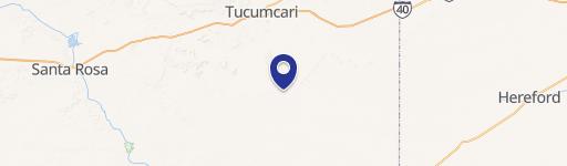
This expansive 648-acre farm, located at 1398 Curry Road Y in Melrose, New Mexico (zip code 88124), presents a compelling investment opportunity. Situated in Curry County, this property offers significant potential for agricultural endeavors. The land is classified as dryland and is currently enrolled in the Conservation Reserve Program (CRP) with seven years remaining in the contract. This provides immediate income potential while allowing for future planning and development. The property's precise coordinates are latitude 34.4635432 and longitude -103.4604908. The asking price for this substantial land holding is $599,000. Given its size and the remaining CRP contract, this farm represents a unique opportunity for investors seeking a stable, long-term agricultural investment in a desirable location west of Clovis, New Mexico. The property is ideal for various agricultural uses, subject to local regulations and zoning ordinances. Interested parties are encouraged to conduct their own due diligence to fully assess the property's potential and suitability for their intended purposes. Further details regarding the current CRP contract and its terms are available upon request.
Cap rate
Implied · in-place · derived from last sale + estimated NOIValue
AI, CAP & Alternative Use estimations · Realmo proprietary blendComparables
4 recent transactions · within 1.5 miComparable in this City

Property description
Physical attributes from public recordsZoning & alternative use
No recorded transactions found for this property.
Costs & Benchmarks
Operating expenses, capex projections, utility benchmarks, and submarket comparables — all in one view.
Risks
Flood, climate, environmental, title, and tenant-concentration risk — surfaced with mitigations and source citations.


