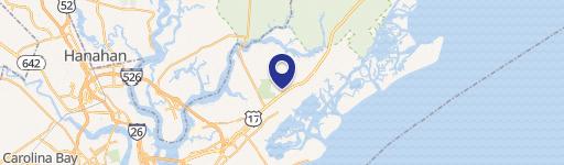
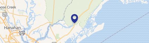
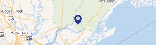
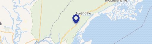
0 Hwy 17 / Seewee Rd Awendaw, SC 29429
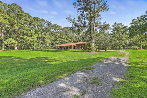
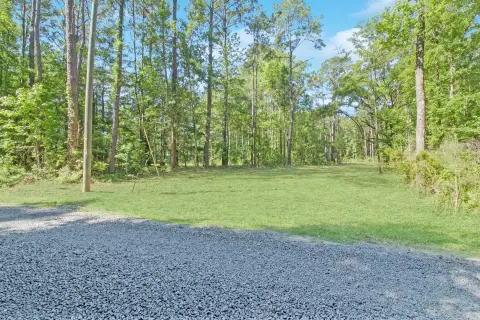
This ±2.54-acre commercial land parcel presents a unique investment opportunity in the town of Awendaw, South Carolina. Located at the prominent intersection of N Hwy 17 and Seewee Road, this property boasts exceptional visibility and accessibility for potential businesses. Currently zoned Agricultural General (AG), the land offers significant development potential. The town of Awendaw may consider a Planned Development, opening the door to a variety of uses. This could include retail establishments, restaurants, banking facilities, convenience stores with gas stations, office spaces, residential development, storage units, or sales lots. The single-tenant property features a total building square footage of 1 square foot, indicating the land is primarily undeveloped and ready for new construction. The lot size is precisely 2.54 acres, providing ample space for a substantial project. The property's location in Charleston County, South Carolina, with a zip code of 29429, offers access to a growing community and regional markets. The property's Assessed Parcel Number (APN) is 629-00-00-159. This prime location and flexible zoning make this an attractive proposition for developers and investors seeking a high-impact project in a desirable area. The coordinates are 32.9261704 latitude and -79.7143994 longitude.
Cap rate
Implied · in-place · derived from last sale + estimated NOIValue
AI, CAP & Alternative Use estimations · Realmo proprietary blendComparables
6 recent transactions · within 1.5 miComparable in this City


Similar Nearby for Sale

Property description
Physical attributes from public recordsZoning & alternative use
No recorded transactions found for this property.
Costs & Benchmarks
Operating expenses, capex projections, utility benchmarks, and submarket comparables — all in one view.
Risks
Flood, climate, environmental, title, and tenant-concentration risk — surfaced with mitigations and source citations.


