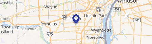
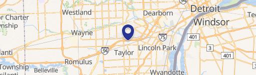
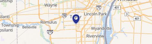
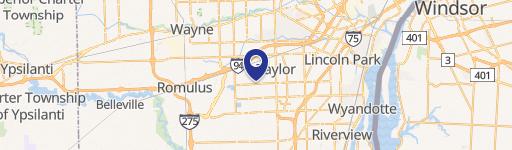
0 Telegraph Rd Taylor, MI 48180
This exceptional 12.14-acre parcel, identified by APN 60-073-99-0018-706, presents a remarkable opportunity for residential development in Taylor, Michigan. Located on Telegraph Rd, zip code 48180, this Wayne County property is zoned R-1A, offering significant potential. The asking price is $887,000, translating to $101,720.18 per acre. A significant portion (8.72 acres) is already planned for Devonshire Cove Condominiums, a project encompassing 98 four-unit, fully improved condo sites and a single duplex home. The site boasts a road infrastructure with utilities stubbed at each planned building site, simplifying the development process. While specific terms are to be determined, this property offers a compelling investment prospect for developers seeking a well-positioned, ready-to-build residential land in a desirable Michigan location. The property's latitude and longitude coordinates are 42.2247601 and -83.2689026 respectively. This is a rare opportunity to acquire a large, well-planned residential development site in a thriving community.
Cap rate
Implied · in-place · derived from last sale + estimated NOIValue
AI, CAP & Alternative Use estimations · Realmo proprietary blendComparables
6 recent transactions · within 1.5 miComparable in this City

Similar Nearby for Sale


Similar Nearby for Lease


Property description
Physical attributes from public recordsZoning & alternative use
No recorded transactions found for this property.
Costs & Benchmarks
Operating expenses, capex projections, utility benchmarks, and submarket comparables — all in one view.
Risks
Flood, climate, environmental, title, and tenant-concentration risk — surfaced with mitigations and source citations.


