42345 60Th St Palmdale, CA 93552
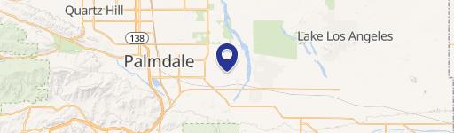
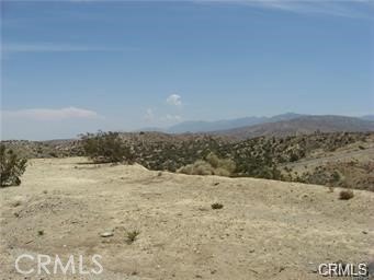
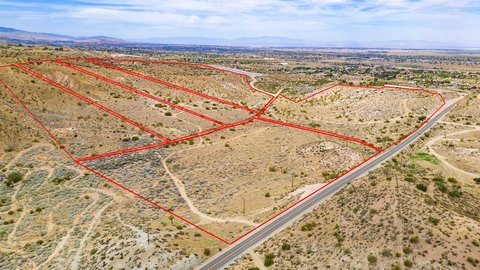
This exceptional 316.77-acre industrial land parcel presents a significant development opportunity in Palmdale, California. Located at the northwest and northeast corners of East Avenue M and 60th Street East, this property boasts a Heavy Industrial (HI) zoning designation, permitting a wide range of uses including manufacturing, assembly, warehousing, and distribution. The site's strategic location offers unparalleled access to major transportation arteries, including SR-14 (Antelope Valley Freeway) and Highway 138, as well as rail access via the Southern Pacific Transportation Co. Its proximity to Palmdale Regional Airport (approximately 7 miles) and Air Force Plant 42 further enhances its appeal. The property is ideally suited for businesses seeking a large-scale industrial presence in a region known for its concentration of aerospace, engineering, and technology companies, including Boeing, Lockheed Martin, Northrop Grumman, and NASA. The parcel's size and zoning make it suitable for a variety of large-scale industrial projects. The property's APN is 3386-028-007, 3386-028-001. This offering represents a rare chance to acquire a substantial industrial land holding in a high-demand area. The asking price is $30,000,000.
Cap rate
Implied · in-place · derived from last sale + estimated NOIValue
AI, CAP & Alternative Use estimations · Realmo proprietary blendComparables
6 recent transactions · within 1.5 miComparable in this City

Similar Nearby for Sale


Similar Nearby for Lease

Property description
Physical attributes from public recordsZoning & alternative use
No recorded transactions found for this property.
Costs & Benchmarks
Operating expenses, capex projections, utility benchmarks, and submarket comparables — all in one view.
Risks
Flood, climate, environmental, title, and tenant-concentration risk — surfaced with mitigations and source citations.


