Current Use by Public Records
- Land
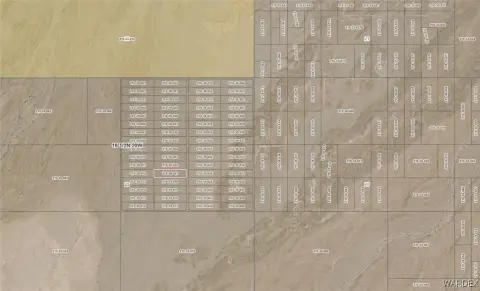
Property Details for 0 Polaris Rd
- Lot size
- 2.30 lot acres
- Property type
- Land
- Property subtype
- Farms
Description
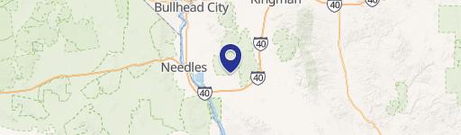
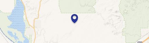
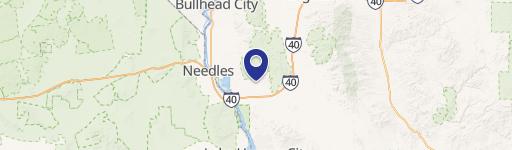
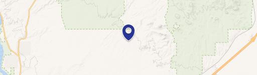
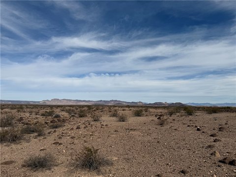
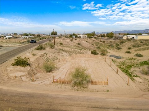
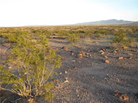
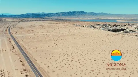
This exceptional 2.3-acre parcel of land presents a unique opportunity for development in Topock, Arizona. Located on Polaris Road, east of Topock and Golden Shores, and conveniently north of I-40, this rectangular lot offers easy access and boasts legal and public access points. Its versatile zoning allows for both residential and agricultural uses, making it ideal for a variety of projects. Imagine building your dream home and enjoying a peaceful, off-grid lifestyle, while still being close to the vibrant community of Topock. The property's proximity to the Colorado River, Havasu Wildlife Refuge, and the Warm Springs Wilderness Area provides unparalleled recreational opportunities. The southwest corner GPS coordinates are Latitude 34.763960 and Longitude -114.32751. This is a truly remarkable opportunity to own a piece of Arizona's natural beauty. The asking price is $20,000, and owner financing is available, making this an attractive investment for both seasoned developers and first-time land buyers. The property is listed under MLS® number 1021879. Don't miss out on this chance to secure your future in this desirable location. The property is zoned for agricultural and residential use. The zip code is 86436, located in Mohave County.
Value Estimations
-
AI approach
-
CAP approach
-
Comparable approach
-
Alternative Use
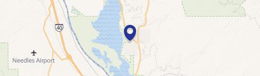
Location Insight
- Map
- Local Demand
- City
- Topock
- County
- Mohave
- State
- Arizona
- Longitude
- -114.347
- Latitude
- 34.7638