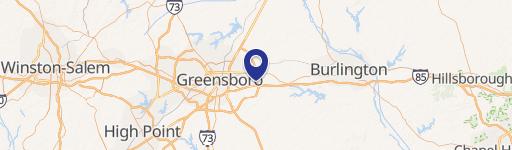
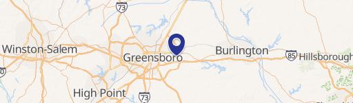
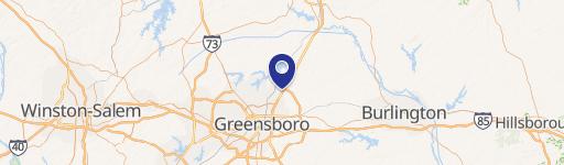
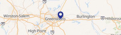
0 Ward Rd Greensboro, NC 27405
This exceptional 523.74-acre land parcel presents a significant investment opportunity in Greensboro, North Carolina. Strategically located near the new I-840 Urban Loop, between I-40 and US 70, this property boasts convenient access to major transportation arteries. Currently zoned RS-30 (Residential) and AG (Agricultural), the land is envisioned for future industrial development, aligning with the city's planned industrial district designation. Water and sewer utilities are readily available in the vicinity. The property comprises multiple parcels, identified by APN numbers: 118733, 115114, 115111, 114996, 115123, 217793, 82857, 115112, 115103, 115105, 114973, 114975, 115104, 115115, 115127, 115102, 114998, 114991. The asking price is $150,000 per acre, representing a compelling value for this expansive tract with its prime location and future development potential. This offering presents a rare chance to acquire a substantial land holding in a rapidly growing area, ideal for large-scale industrial projects. The property is situated in Guilford County, Greensboro, NC, zip code 27405.
Cap rate
Implied · in-place · derived from last sale + estimated NOIValue
AI, CAP & Alternative Use estimations · Realmo proprietary blendComparables
6 recent transactions · within 1.5 miComparable in this City
Similar Nearby for Sale


Similar Nearby for Lease


Property description
Physical attributes from public recordsZoning & alternative use
No recorded transactions found for this property.
Costs & Benchmarks
Operating expenses, capex projections, utility benchmarks, and submarket comparables — all in one view.
Risks
Flood, climate, environmental, title, and tenant-concentration risk — surfaced with mitigations and source citations.


