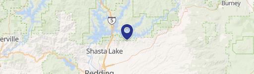
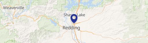
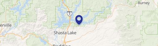
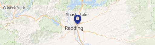
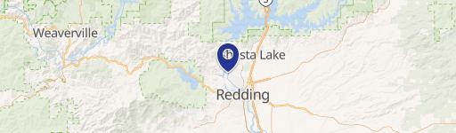
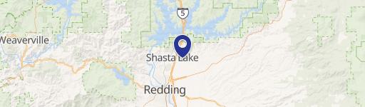
255 Lost Rd Redding, CA 96003
This exceptional 48-acre property presents a remarkable opportunity for residential development in Redding, California. Comprised of four contiguous lots (APN: 113-210-004, 013, 018, 019), this land offers a unique blend of commercial and residential zoning (Mix of R10 & R2). The parcels include approximately 30 acres at 255 Lost Ln, 12.75 acres at 4321 Dogwood, and two parcels at 466 and 460 Buckeye Terrace totaling 5.25 acres. The R10 and RS-2 zoning designations allow for a diverse range of development options, including single-family and multi-family residential projects. This prime location in a rapidly expanding area of Redding, situated north of Sacramento, offers significant growth potential. The property's strategic location ensures convenient access to essential utilities, which are either already on-site or readily available at the entrance. This is an exceptional opportunity for developers seeking a substantial land parcel with established infrastructure and flexible zoning in a thriving California market. The seller is open to cooperating with buyer agent compensation.
Cap rate
Implied · in-place · derived from last sale + estimated NOIValue
AI, CAP & Alternative Use estimations · Realmo proprietary blendComparables
6 recent transactions · within 1.5 miComparable in this City
Similar Nearby for Sale


Similar Nearby for Lease


Property description
Physical attributes from public recordsZoning & alternative use
No recorded transactions found for this property.
Costs & Benchmarks
Operating expenses, capex projections, utility benchmarks, and submarket comparables — all in one view.
Risks
Flood, climate, environmental, title, and tenant-concentration risk — surfaced with mitigations and source citations.


