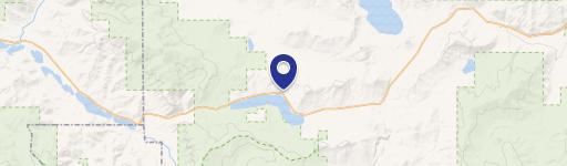
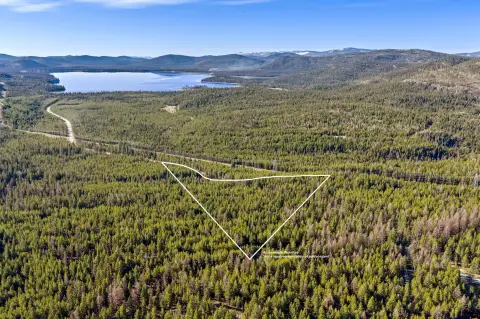
1978 Lower Lost Prairie Rd Marion, MT 59925
This exceptional 14.9-acre commercial property in Marion, Montana (zip code 59925), offers a unique blend of seclusion and convenience. Located at 1978 Lower Lost Prairie Road, in Flathead County, the land boasts diverse terrain and abundant wildlife. Site preparation is complete, including a level homesite, gravel, landscaping, a well, and a septic system designed for a four-bedroom home. Two RV pads with hookups are already in place, providing immediate occupancy options. A 1000-gallon propane tank is connected, and a manual hand pump serves as a well backup to the solar system and backup generators. The property also includes multiple sheds, a chicken coop, and established organic gardens. Much of the perimeter is fenced. Two sides border Flathead Ridge Ranch land, ideal for outdoor enthusiasts. The property is free from covenants or restrictions, offering unparalleled flexibility for development. Asking price is $344,700.
Cap rate
Implied · in-place · derived from last sale + estimated NOIValue
AI, CAP & Alternative Use estimations · Realmo proprietary blendComparables
6 recent transactions · within 1.5 miComparable in this City


Similar Nearby for Sale


Property description
Physical attributes from public recordsZoning & alternative use
No recorded transactions found for this property.
Costs & Benchmarks
Operating expenses, capex projections, utility benchmarks, and submarket comparables — all in one view.
Risks
Flood, climate, environmental, title, and tenant-concentration risk — surfaced with mitigations and source citations.


